Medium airport · United States
Wasilla AirportPAWS
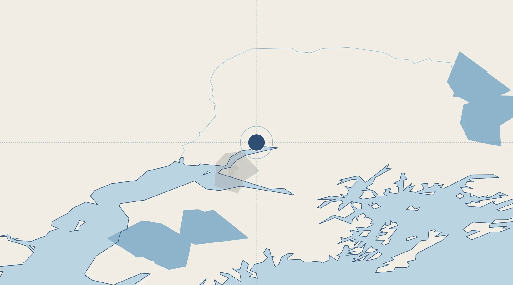
61.5717°, -149.5400°
3,700 ft
Longest runway
2
Runways
354 ft
Elevation
Runway & Layout

Radio Frequencies
AWOS
135.25 MHz
AWOS 3
CTAF
122.8 MHz
A/D
119.1 MHz
ANCHORAGE APP/DEP
Runways · 2
| Runway | Dimensions | Surface | True heading | Lit |
|---|---|---|---|---|
| 04/22 | 3,700 × 75ft | Asphalt | 056° | ✓ |
| 04S/22S | 1,690 × 60ft | TURF-GRVL-G | 056° | — |
Airport Specifications
IATA code
WWA
ICAO code
PAWS
Airport class
Medium airport
Scheduled service
No
Runway surface
Asphalt
Served city
Wasilla
Location
Nearby Logistics Neighbours
Airports
- 1Birchwood Airport17 km
- 2Wasilla Creek Airpark22 km
- 3Warren "Bud" Woods Palmer Municipal Airport24 km
- 4Elmendorf Air Force Base38 km
- 5Merrill Field43 km
Cities
- 1Houston16 km
- 2Elmendorf Air Force Base38 km
- 3Port MacKenzie39 km
- 4Anchorage42 km
- 5Susitna51 km
Trade Zones
- 1FTZ No. 160 Anchorage41 km
- 2FTZ No. 108 Valdez176 km
- 3FTZ No. 195 Fairbanks375 km
- 4FTZ No. 232 Kodiak512 km
- 5PrInce George Logistics Park1785 km
DatabookThe Record of Consolidated Knowledge
United States beyond logistics?