UN/LOCODE hub · Dominican Republic
DOMAO
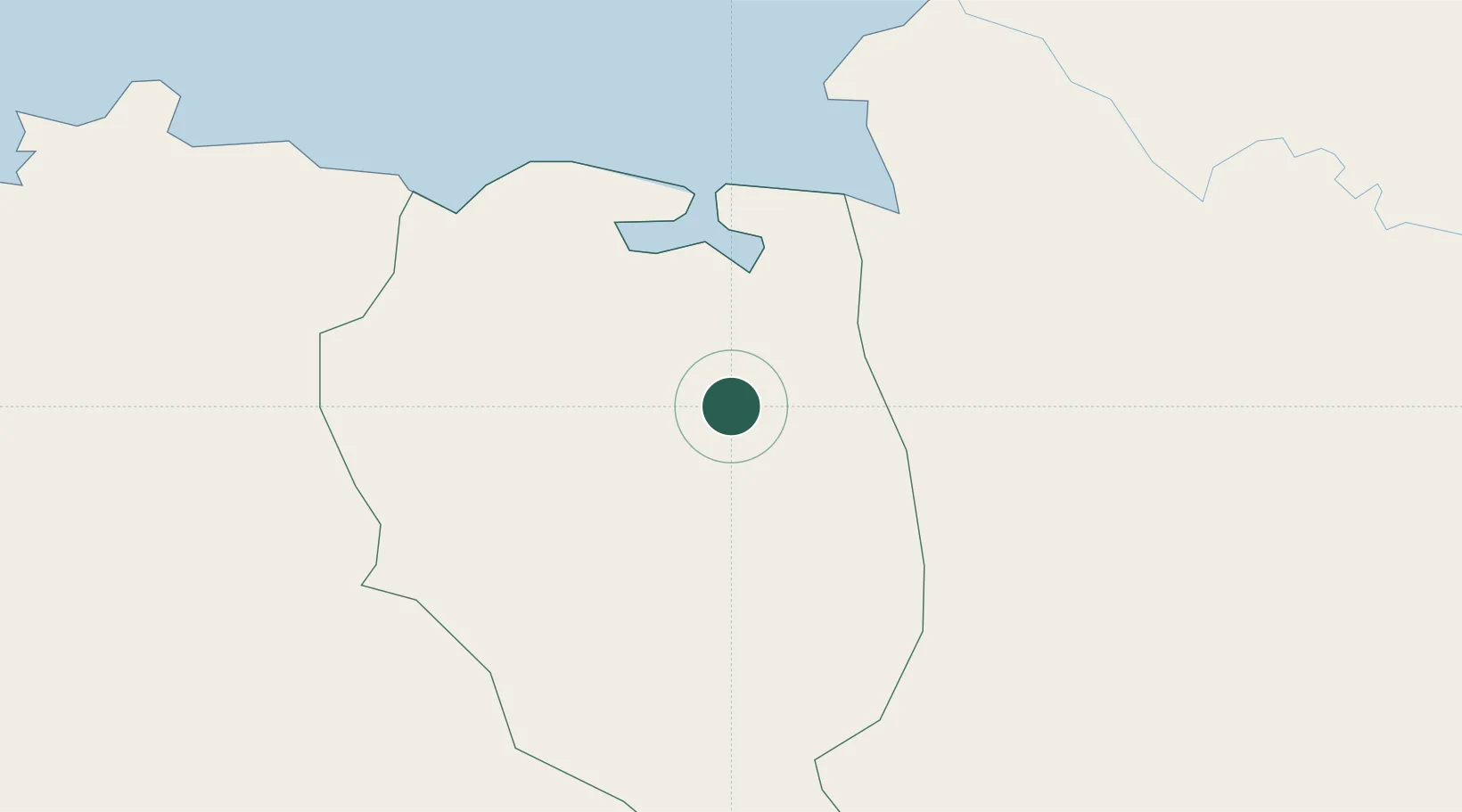
Mao
19.5667°, -71.8333°
48,297
Population
1
Transport functions
Transport Functions
Multimodal
Hub Profile
Place type
Regional capital
Region
Valverde Province
Population
48,297
Time zone
America/Santo_Domingo
Elevation
76 m
Location
Nearby Logistics Neighbours
Cities
- 1Manzanillo17 km
- 2Caracol23 km
- 3Cap-Haïtien44 km
- 4Piloto67 km
- 5Luperon100 km
Ports
- 1Pepillo Salcedo17 km
- 2Manzanillo19 km
- 3Cap Haitien44 km
- 4Amber Cove116 km
- 5Puerto Plata122 km
Airports
Trade Zones
DatabookThe Record of Consolidated Knowledge
Dominican Republic beyond logistics?