Large airport · Turks & Caicos Islands
Providenciales International AirportMBPV
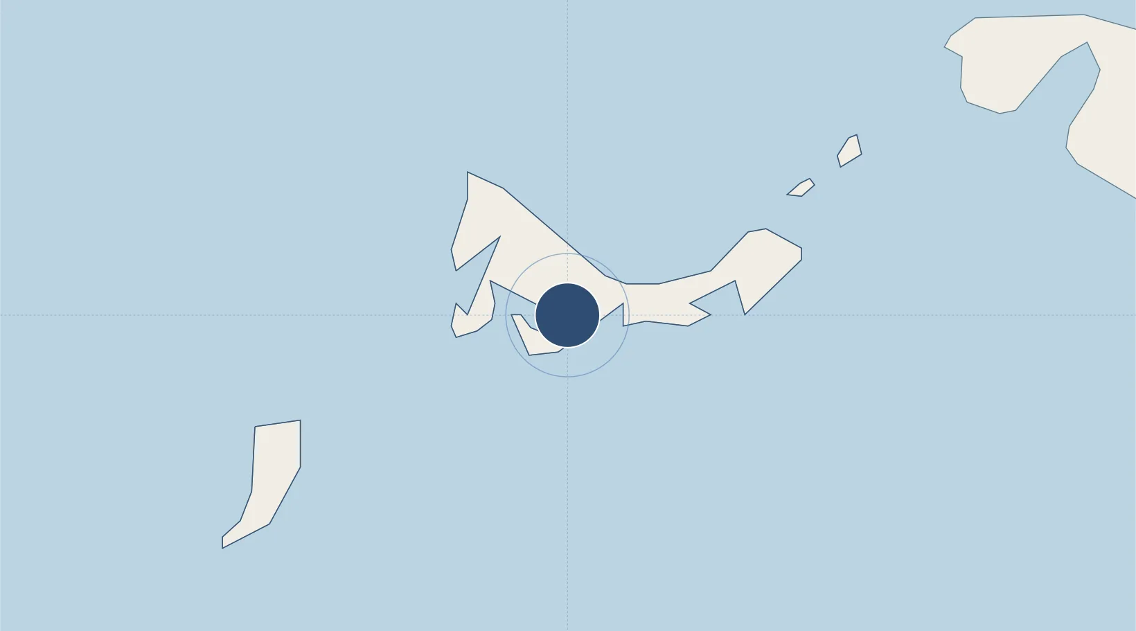
21.7737°, -72.2683°
9,199 ft
Longest runway
1
Runways
15 ft
Elevation
Runway & Layout

Radio Frequencies
TWR
119.9 MHz
GND
121.9 MHz
APP
126 MHz
PROVO APP
Navaids
PV NDB Providenciales 387 kHz
PVN VOR-DME Providenciales 115.60 MHz
Runways · 1
| Runway | Dimensions | Surface | True heading | Lit |
|---|---|---|---|---|
| 10/28 | 9,199 × 148ft | Asphalt | 093° | ✓ |
Airport Specifications
IATA code
PLS
ICAO code
MBPV
Airport class
Large airport
Scheduled service
Yes
Runway surface
Asphalt
Served city
Providenciales
Location
Nearby Logistics Neighbours
Airports
- 1North Caicos Airport37 km
- 2South Caicos Airport82 km
- 3Mayaguana Airport102 km
- 4Salt Cay Airport121 km
- 5JAGS McCartney International Airport122 km
Cities
- 1Cockburn Harbour83 km
- 2Cap-Haïtien224 km
- 3Caracol234 km
- 4Manzanillo237 km
- 5Luperon249 km
Ports
- 1Providenciales5 km
- 2Cockburn Harbor82 km
- 3Grand Turk122 km
- 4Matthew Town173 km
- 5Cap Haitien223 km
Trade Zones
- 1Zona Franca Industrial Tamboril (ZFT)223 km
- 2Caracol Free Zone236 km
- 3FTZ de Trou du Nord241 km
- 4Limestone Park250 km
- 5CODEVI Free Zone253 km
DatabookThe Record of Consolidated Knowledge
Turks & Caicos Islands beyond logistics?