Runway & Layout

Airport Specifications
IATA code
SLX
ICAO code
MBSY
Airport class
Small airport
Scheduled service
Yes
Served city
Salt Cay
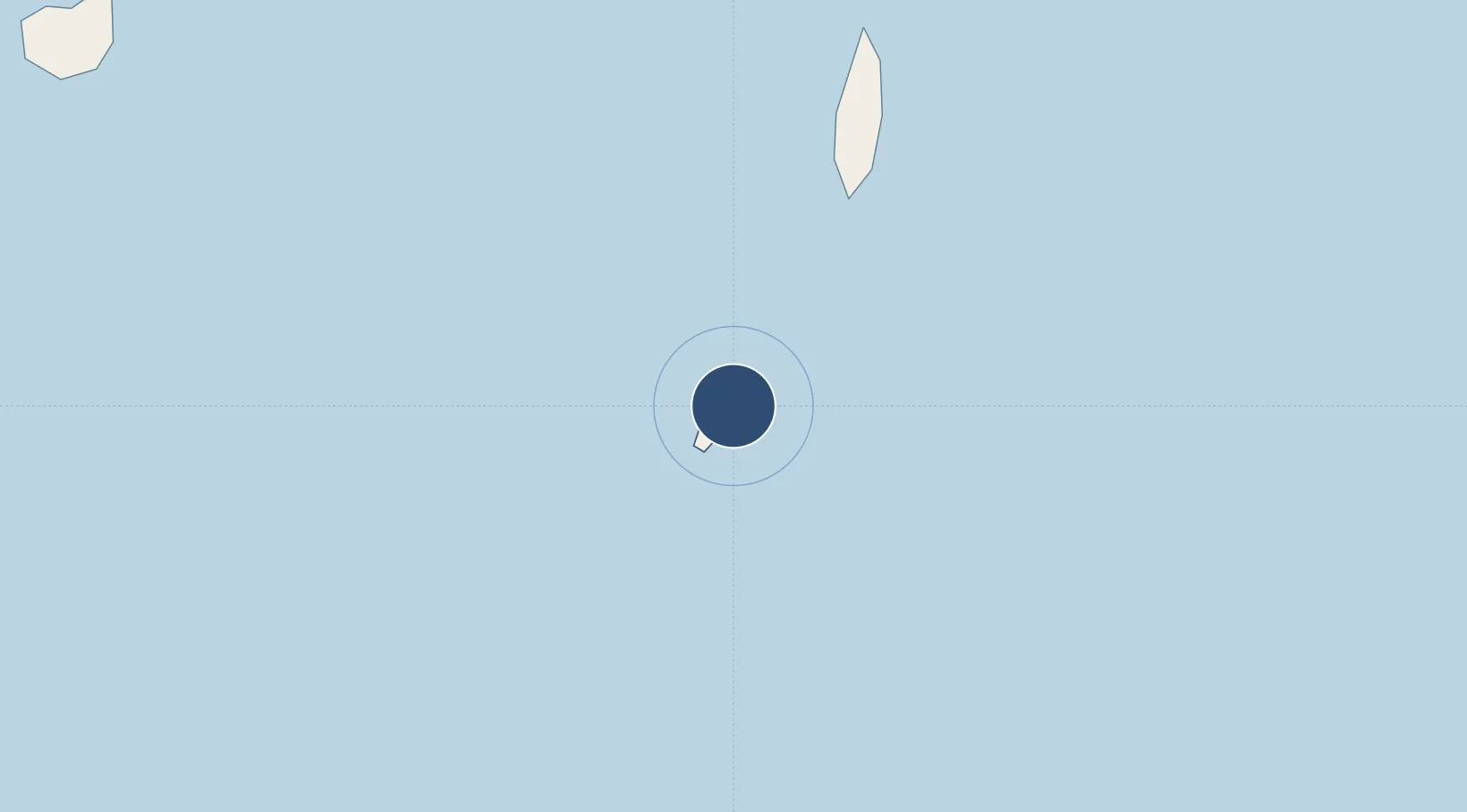
Location
Nearby Logistics Neighbours
Airports
Cities
- 1Cockburn Harbour38 km
- 2Luperon162 km
- 3Manzanillo190 km
- 4Piloto193 km
- 5Caracol202 km
Ports
- 1Grand Turk12 km
- 2Cockburn Harbor39 km
- 3Providenciales121 km
- 4Amber Cove173 km
- 5Puerto Plata178 km
Trade Zones
DatabookThe Record of Consolidated Knowledge
Turks & Caicos Islands beyond logistics?