Transport Functions
Port
Airport
Hub Profile
Place type
Regional capital
Region
Nord
Population
134,815
Time zone
America/Port-au-Prince
Elevation
7 m
Logistics facilities
1
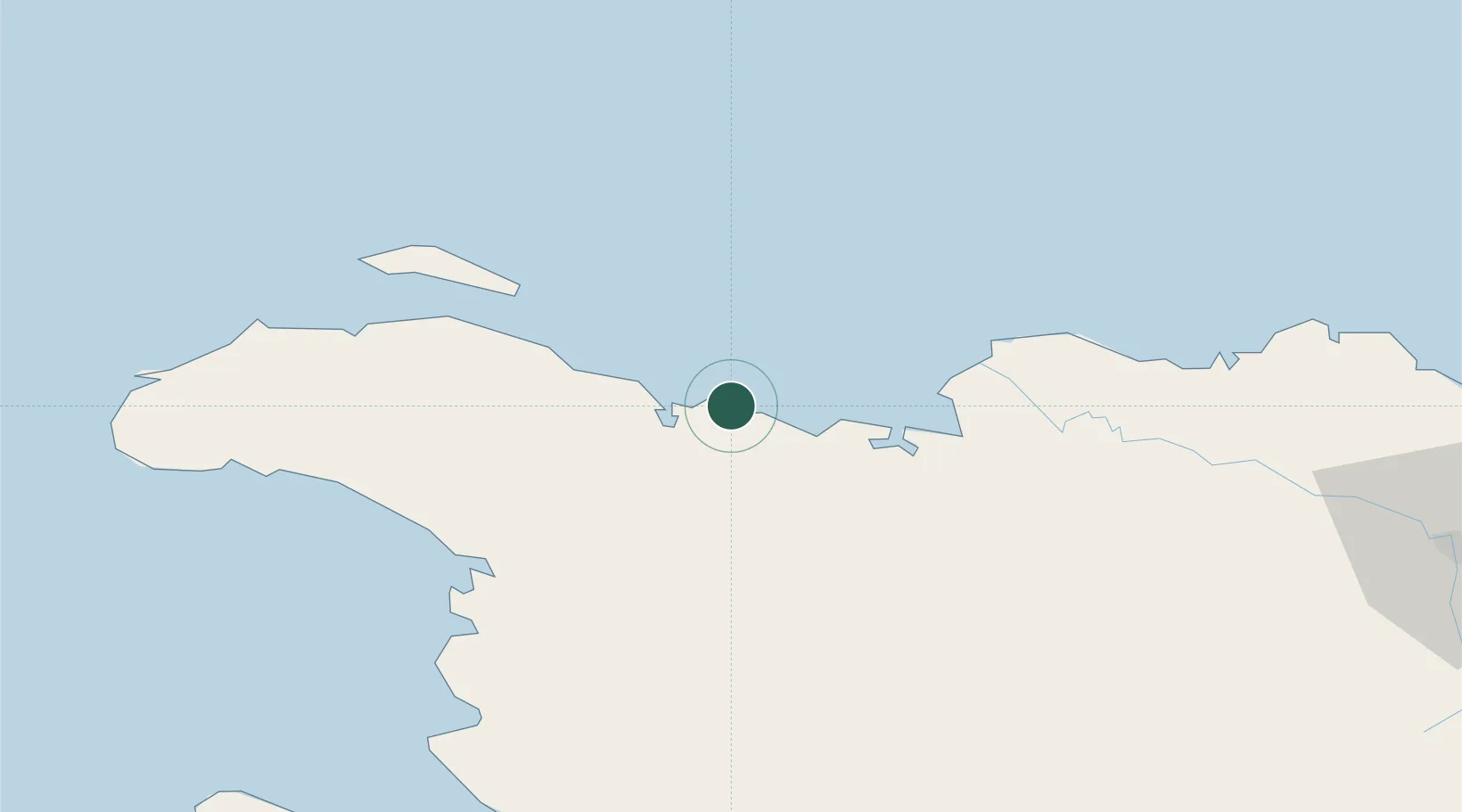
Location
Nearby Logistics Neighbours
Cities
- 1Caracol21 km
- 2Mao44 km
- 3Manzanillo47 km
- 4Baie de Saint-Marc89 km
- 5Piloto106 km
Ports
- 1Manzanillo47 km
- 2Pepillo Salcedo47 km
- 3Port Au Prince136 km
- 4Amber Cove150 km
- 5Puerto Plata156 km
Airports
Trade Zones
- 1Caracol Free Zone22 km
- 2FTZ de Trou du Nord23 km
- 3CODEVI Free Zone54 km
- 4Zona Franca Industrial Valverde Mao (ZOFINMA)118 km
- 5Lafito Port Free Zone120 km
DatabookThe Record of Consolidated Knowledge
Haiti beyond logistics?