Medium airport · Turks & Caicos Islands
North Caicos AirportMBNC
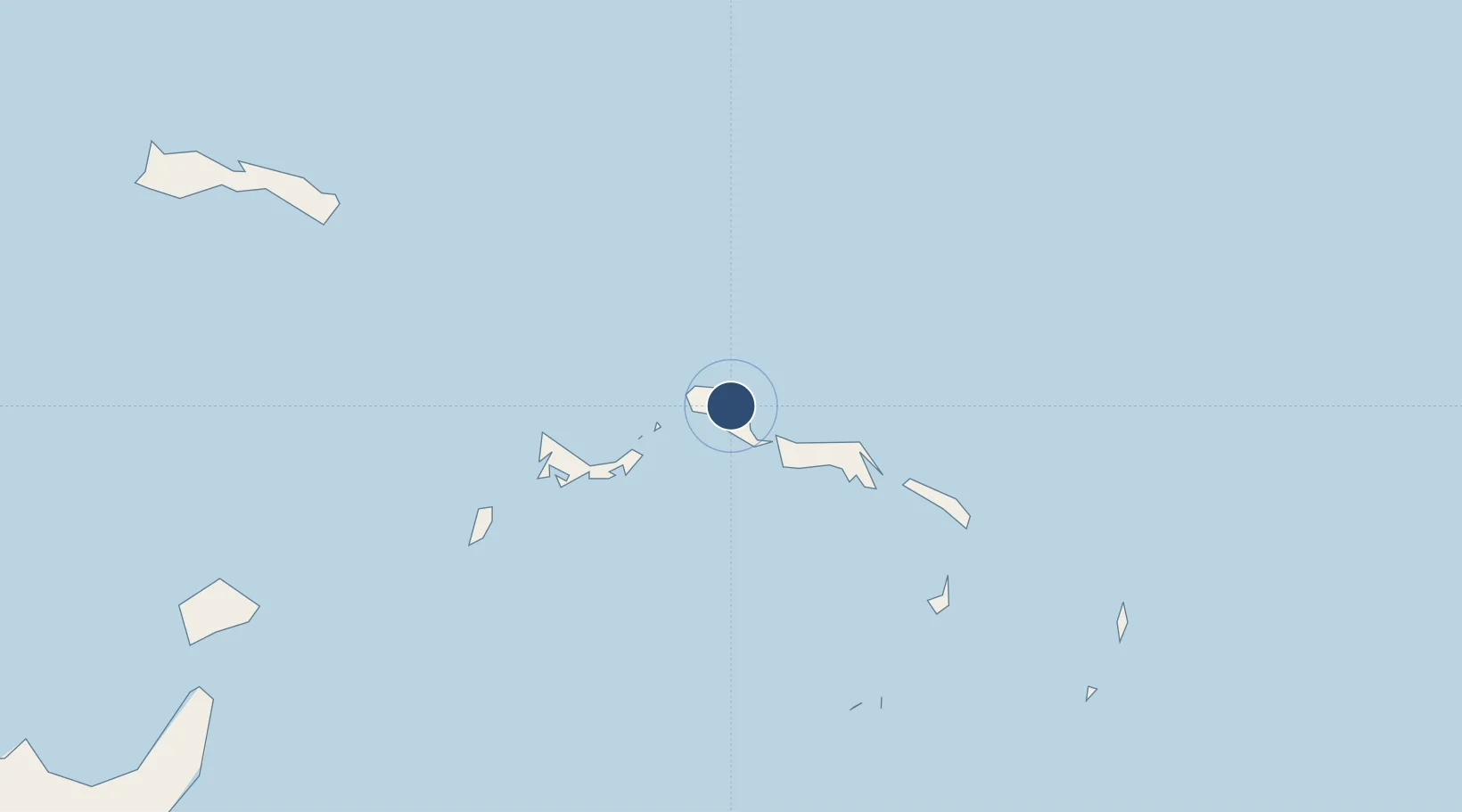
21.9161°, -71.9430°
4,245 ft
Longest runway
1
Runways
10 ft
Elevation
Runway & Layout

Radio Frequencies
UNIC
118.85 MHz
INFO
Runways · 1
| Runway | Dimensions | Surface | True heading | Lit |
|---|---|---|---|---|
| 08/26 | 4,245 × 75ft | Asphalt | 070° | ✓ |
Airport Specifications
IATA code
NCA
ICAO code
MBNC
Airport class
Medium airport
Scheduled service
Yes
Runway surface
Asphalt
Served city
North Caicos
Location
Nearby Logistics Neighbours
Airports
- 1Providenciales International Airport37 km
- 2South Caicos Airport62 km
- 3JAGS McCartney International Airport98 km
- 4Salt Cay Airport101 km
- 5Mayaguana Airport122 km
Cities
- 1Cockburn Harbour64 km
- 2Cap-Haïtien241 km
- 3Luperon247 km
- 4Manzanillo247 km
- 5Caracol248 km
Ports
- 1Providenciales41 km
- 2Cockburn Harbor63 km
- 3Grand Turk98 km
- 4Matthew Town210 km
- 5Cap Haitien241 km
Trade Zones
- 1Zona Franca Industrial Tamboril (ZFT)210 km
- 2Limestone Park247 km
- 3Caracol Free Zone250 km
- 4FTZ de Trou du Nord256 km
- 5CODEVI Free Zone263 km
DatabookThe Record of Consolidated Knowledge
Turks & Caicos Islands beyond logistics?