UN/LOCODE hub · Turks & Caicos Islands
TC9CB
Cockburn Harbour
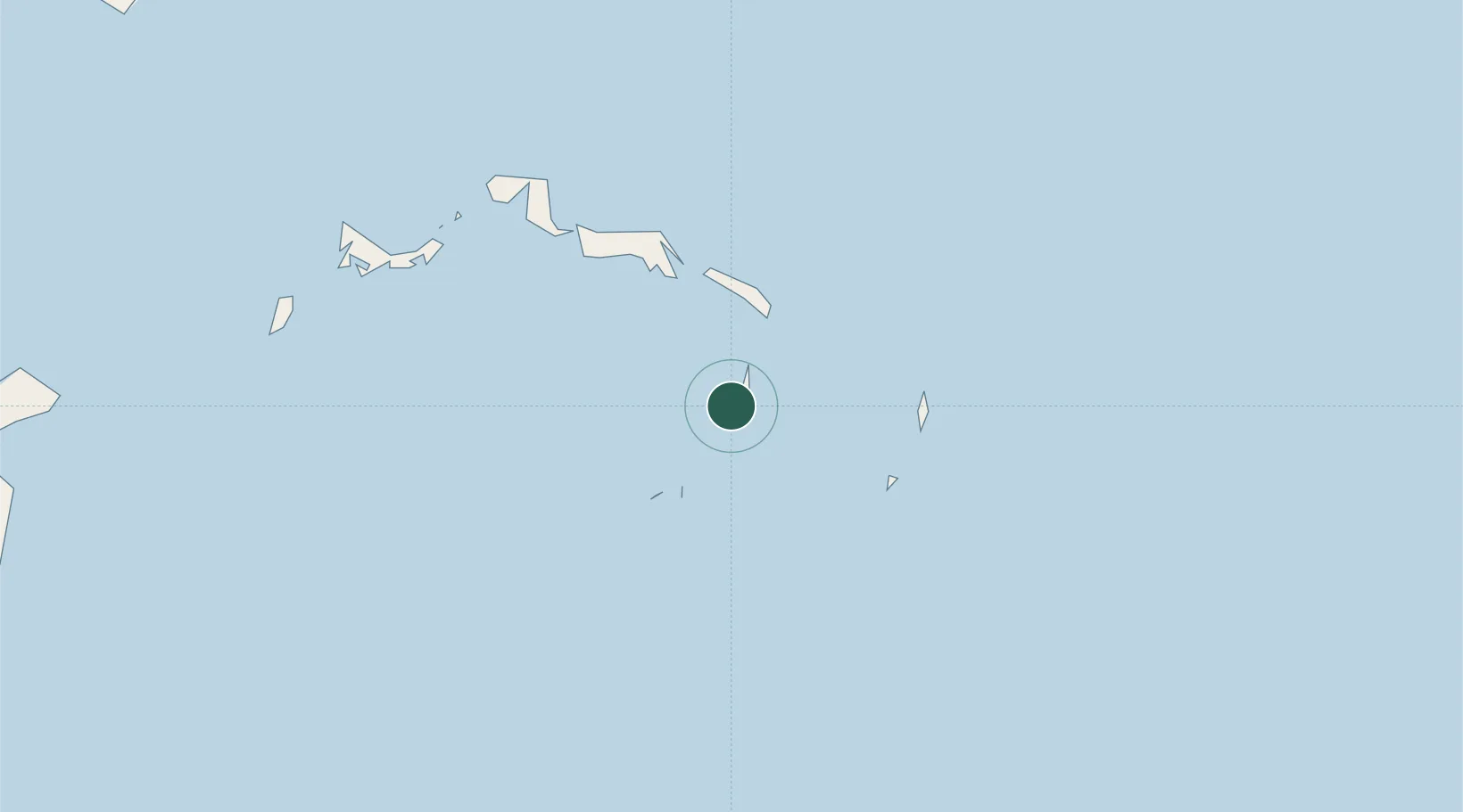
21.4833°, -71.5333°
811
Population
2
Transport functions
Transport Functions
Port
Road
Hub Profile
Place type
Populated place
Population
811
Time zone
America/Grand_Turk
Elevation
8 m
Location
Nearby Logistics Neighbours
Cities
- 1Luperon186 km
- 2Manzanillo200 km
- 3Cap-Haïtien204 km
- 4Caracol206 km
- 5Piloto212 km
Ports
- 1Grand Turk40 km
- 2Providenciales82 km
- 3Manzanillo198 km
- 4Pepillo Salcedo200 km
- 5Amber Cove200 km
Airports
Trade Zones
- 1Zona Franca Industrial Tamboril (ZFT)146 km
- 2Limestone Park186 km
- 3Zona Franca Bahia de Maimon204 km
- 4Puerto Plata Industrial Free Zone205 km
- 5Caracol Free Zone208 km
DatabookThe Record of Consolidated Knowledge
Turks & Caicos Islands beyond logistics?