Medium airport · Turks & Caicos Islands

South Caicos AirportMBSC
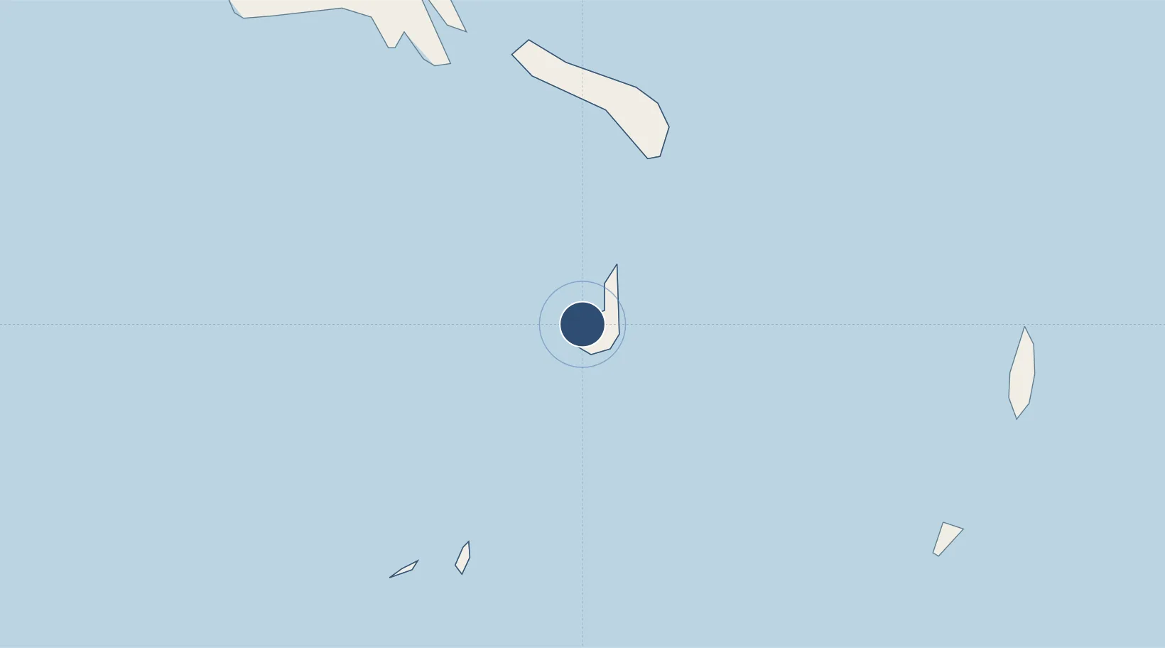
21.5157°, -71.5285°
6,335 ft
Longest runway
1
Runways
6 ft
Elevation

Runway & Layout

South Caicos Airport runway & taxiway layout
Runway & taxiway layout — OpenStreetMap (ODbL) / OurAirports

Radio Frequencies

APP
126 MHz
PROVO APP
AFIS
118.9 MHz
INFO
OurAirports

Navaids

SC NDB South Caicos 260 kHz
OurAirports

Runways · 1

RunwayDimensions SurfaceTrue headingLit
11/29 6,335 × 98ft Asphalt 098°
OurAirports

Airport Specifications

IATA code
XSC
OurAirports
ICAO code
MBSC
OurAirports
Airport class
Medium airport
OurAirports
Scheduled service
Yes
OurAirports
Runway surface
Asphalt
OurAirports
Served city
South Caicos
OurAirports

Location

Location of MBSC
Natural Earth 10m (public domain) · South Caicos and East Caicos · MBSC · 21.52, -71.53GoogleOSMYandex

Nearby Logistics Neighbours

Airports
  1. 1Salt Cay Airport40 km
  2. 2JAGS McCartney International Airport41 km
  3. 3North Caicos Airport62 km
  4. 4Providenciales International Airport82 km
  5. 5Mayaguana Airport181 km
Nearest neighbours — logibook spatial index (haversine) over the source coordinates
Cities
  1. 1Cockburn Harbour4 km
  2. 2Luperon190 km
  3. 3Manzanillo203 km
  4. 4Cap-Haïtien207 km
  5. 5Caracol210 km
Nearest neighbours — logibook spatial index (haversine) over the source coordinates
Ports
  1. 1Cockburn Harbor2 km
  2. 2Grand Turk40 km
  3. 3Providenciales82 km
  4. 4Manzanillo201 km
  5. 5Amber Cove203 km
Nearest neighbours — logibook spatial index (haversine) over the source coordinates
Trade Zones
  1. 1Zona Franca Industrial Tamboril (ZFT)149 km
  2. 2Limestone Park190 km
  3. 3Zona Franca Bahia de Maimon207 km
  4. 4Puerto Plata Industrial Free Zone208 km
  5. 5Caracol Free Zone212 km
Nearest neighbours — logibook spatial index (haversine) over the source coordinates
DatabookThe Record of Consolidated Knowledge
Turks & Caicos Islands beyond logistics?
Browse databook

All Sources

AirportsOurAirports
Public domain
Portsthe NGA World Port Index
Public domain (US gov)
LocationsUN/LOCODE
UN/LOCODE — free
Trade Zonesthe World Bank SEZ database
CC BY 4.0
Trade ZonesOpen Zone Map
CC BY
InfrastructureOpenStreetMap
ODbL 1.0
← Turks & Caicos Islands airports