Seaport · Turks & Caicos Islands
Grand TurkTCGDT
21.4333°, -71.1500°
12.5 m
Channel depth
8.2
Port liner connectivity
Channel & Berth Profile
Pilotage, Tugs & Services
Pilotage compulsoryNO
Pilotage availableYES
Pilotage advisableNO
Local assistanceYES
Tug assistanceNO
Salvage tugsNO
Potable waterYES
Diesel bunkersYES
MedicalYES
Garbage disposalYES
Facilities & Capabilities
ContainerYES
Ro-RoYES
Liquid bulk—
Dry bulk—
Oil terminal—
Break bulkYES
Dry dock—
RepairsNO
BunkeringYES
Rail linkNO
Dangerous cargo—
ISPS securityYES
Harbour Specifications
Harbour size
Very Small
Harbour type
Open Roadstead
Shelter
Good
Water body
North Atlantic Ocean
Tidal range
0.8 m
Overhead limit
No
Pilotage
No
Liner Connectivity
8.2
PLSCI
Port Liner Shipping Connectivity Index for Grand Turk, as published by UNCTAD for the latest available quarter. Higher values indicate stronger scheduled liner-shipping integration.
Shown relative to the highest per-port PLSCI in the dataset (1,657.9).
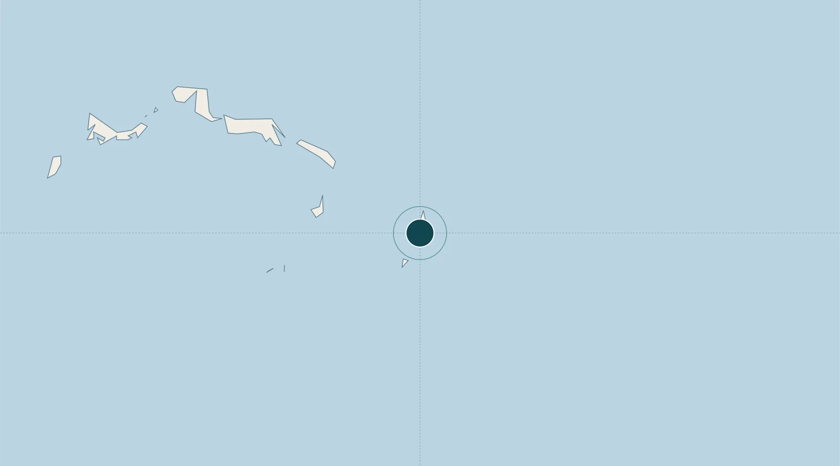
Location
Nearby Logistics Neighbours
Ports
- 1Cockburn Harbor40 km
- 2Providenciales122 km
- 3Amber Cove182 km
- 4Puerto Plata188 km
- 5Manzanillo201 km
Cities
- 1Cockburn Harbour40 km
- 2Luperon172 km
- 3Manzanillo203 km
- 4Piloto204 km
- 5Caracol215 km
Airports
Trade Zones
DatabookThe Record of Consolidated Knowledge
Turks & Caicos Islands beyond logistics?