Export Processing Zone · Dominican Republic

Limestone Park Under Development
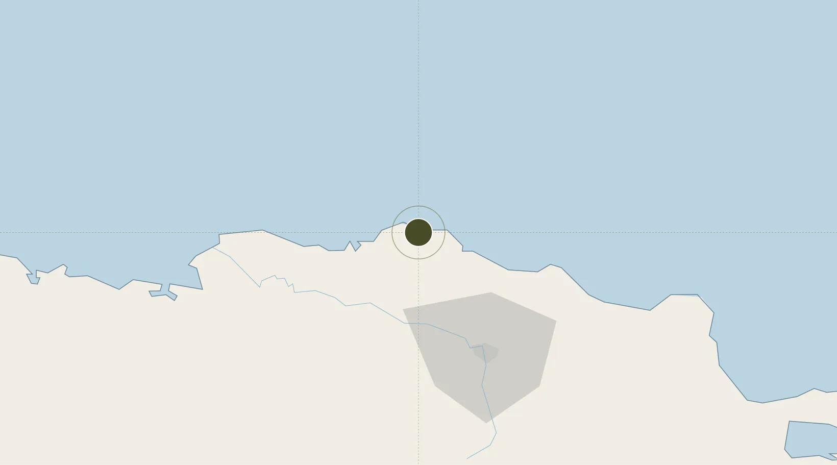
19.9010°, -70.9462°
10 ha
Zone area
20.2 km
Nearest port
42.4 km
Nearest airport

Gateway access

Nearest neighbours — logibook spatial index (haversine) over the source coordinates

Zone profile

Zone type
Export Processing Zone
Open Zone Map
Region
Puerto Plata
Open Zone Map
Status
Under Development
Open Zone Map
Management
Private
Open Zone Map
Operator
Limestone Park Corporation
Open Zone Map
Legal framework
Law 8-90, Amended in December 2007
Open Zone Map

Location

Location of ozm-1786
Natural Earth 10m (public domain) · Puerto Plata · ozm-1786 · 19.90, -70.95GoogleOSMYandex

Nearby Logistics Neighbours

Ports
  1. 1Amber Cove20 km
  2. 2Puerto Plata28 km
  3. 3Manzanillo87 km
  4. 4Pepillo Salcedo87 km
  5. 5Cap Haitien132 km
Nearest neighbours — logibook spatial index (haversine) over the source coordinates
Airports
  1. 1Gregorio Luperon International Airport42 km
  2. 2Cibao International Airport66 km
  3. 3Cap Haitien International Airport133 km
  4. 4Samaná El Catey International Airport145 km
  5. 5Salt Cay Airport161 km
Nearest neighbours — logibook spatial index (haversine) over the source coordinates
Cities
  1. 1Luperon0 km
  2. 2Piloto43 km
  3. 3Villa Gonzalez44 km
  4. 4Hato del Yaque52 km
  5. 5Licey60 km
Nearest neighbours — logibook spatial index (haversine) over the source coordinates
Trade Zones
  1. 1Zona Franca Bahia de Maimon25 km
  2. 2Puerto Plata Industrial Free Zone26 km
  3. 3Zona Franca de Esperanza35 km
  4. 4Zona Franca Industrial Boca de Mao (Boca De Mao Free Trade Zone)36 km
  5. 5Zona Franca Industrial Emimar38 km
Nearest neighbours — logibook spatial index (haversine) over the source coordinates
DatabookThe Record of Consolidated Knowledge
Dominican Republic beyond logistics?
Browse databook

All Sources

Trade ZonesOpen Zone Map
CC BY
Portsthe NGA World Port Index
Public domain (US gov)
AirportsOurAirports
Public domain
LocationsUN/LOCODE
UN/LOCODE — free
← Dominican Republic trade zones