Seaport · Dominican Republic

ManzanilloDOMAN

19.7167°, -71.7500°
14.9
Port liner connectivity
Manzanillo is also a UN/LOCODE logistics hub →

Channel & Berth Profile

SEA LEVEL (CD)CHANNEL BEDAnchorage · 36.5 m
NGA World Port Index

Pilotage, Tugs & Services

Pilotage compulsoryYES
Pilotage availableYES
NGA World Port Index

Facilities & Capabilities

ContainerYES
Ro-Ro
Liquid bulk
Dry bulkYES
Oil terminal
Break bulkYES
Dry dock
Repairs
Bunkering
Rail link
Dangerous cargo
ISPS securityYES
NGA World Port Index

Harbour Specifications

Water body
North Atlantic Ocean
NGA World Port Index
Tidal range
0.6 m
NGA World Port Index
Pilotage
Yes
NGA World Port Index

Liner Connectivity

14.9
PLSCI

Port Liner Shipping Connectivity Index for Manzanillo, as published by UNCTAD for the latest available quarter. Higher values indicate stronger scheduled liner-shipping integration.

Shown relative to the highest per-port PLSCI in the dataset (1,657.9).
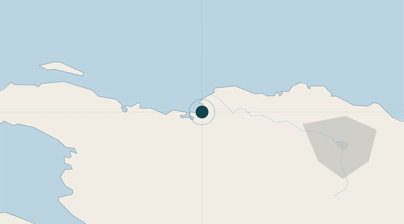
UNCTAD · Port Liner Shipping Connectivity Index

Location

Location of DOMAN
Natural Earth 10m (public domain) · Nord-Est · DOMAN · 19.72, -71.75GoogleOSMYandex

Nearby Logistics Neighbours

Ports
  1. 1Pepillo Salcedo2 km
  2. 2Cap Haitien47 km
  3. 3Amber Cove104 km
  4. 4Puerto Plata110 km
  5. 5Port Au Prince144 km
Nearest neighbours — logibook spatial index (haversine) over the source coordinates
Cities
  1. 1Mao19 km
  2. 2Caracol28 km
  3. 3Cap-Haïtien47 km
  4. 4Piloto59 km
  5. 5Luperon86 km
Nearest neighbours — logibook spatial index (haversine) over the source coordinates
Airports
  1. 1Cap Haitien International Airport47 km
  2. 2Port-de-Paix Airport117 km
  3. 3Gregorio Luperon International Airport124 km
  4. 4Cibao International Airport125 km
  5. 5Toussaint Louverture International Airport139 km
Nearest neighbours — logibook spatial index (haversine) over the source coordinates
Trade Zones
  1. 1CODEVI Free Zone18 km
  2. 2Caracol Free Zone28 km
  3. 3FTZ de Trou du Nord32 km
  4. 4Zona Franca Industrial Valverde Mao (ZOFINMA)71 km
  5. 5Zona Franca Industrial Boca de Mao (Boca De Mao Free Trade Zone)76 km
Nearest neighbours — logibook spatial index (haversine) over the source coordinates
DatabookThe Record of Consolidated Knowledge
Dominican Republic beyond logistics?
Browse databook

All Sources

Portsthe NGA World Port Index
Public domain (US gov)
Logistics performanceUNCTAD
CC BY 3.0 IGO
AirportsOurAirports
Public domain
LocationsUN/LOCODE
UN/LOCODE — free
Trade Zonesthe World Bank SEZ database
CC BY 4.0
Trade ZonesOpen Zone Map
CC BY
← Dominican Republic ports