Medium airport · Bahamas
Mayaguana AirportMYMM
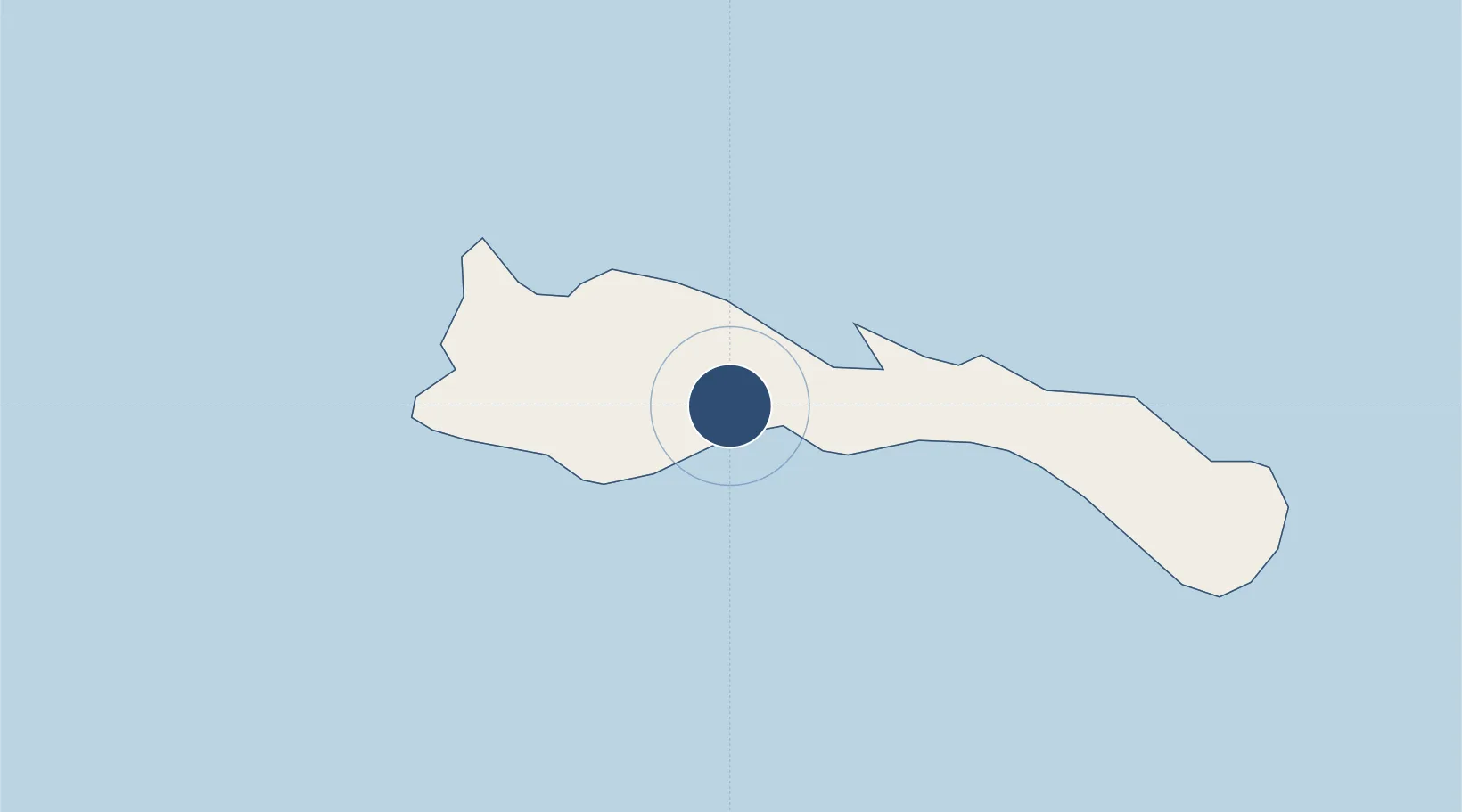
22.3795°, -73.0135°
7,297 ft
Longest runway
1
Runways
11 ft
Elevation
Runway & Layout

Runways · 1
| Runway | Dimensions | Surface | True heading | Lit |
|---|---|---|---|---|
| 06/24 | 7,297 × 150ft | Asphalt | 056° | — |
Airport Specifications
IATA code
MYG
ICAO code
MYMM
Airport class
Medium airport
Scheduled service
Yes
Runway surface
Asphalt
Served city
Abraham Bay Settlement
Location
Nearby Logistics Neighbours
Airports
- 1Spring Point Airport99 km
- 2Providenciales International Airport102 km
- 3North Caicos Airport122 km
- 4Colonel Hill Airport127 km
- 5Inagua Airport170 km
Cities
- 1Cockburn Harbour182 km
- 2Cockburn Town240 km
- 3Stella Maris271 km
- 4Cap-Haïtien304 km
- 5Sagua de Tánamo304 km
Ports
- 1Providenciales104 km
- 2Matthew Town173 km
- 3Cockburn Harbor181 km
- 4Grand Turk219 km
- 5Cockburn242 km
Trade Zones
- 1Caracol Free Zone319 km
- 2FTZ de Trou du Nord324 km
- 3Zona Franca Industrial Tamboril (ZFT)325 km
- 4CODEVI Free Zone341 km
- 5Limestone Park349 km
DatabookThe Record of Consolidated Knowledge
Bahamas beyond logistics?