Free Zone · Haiti

CODEVI Free Zone Active
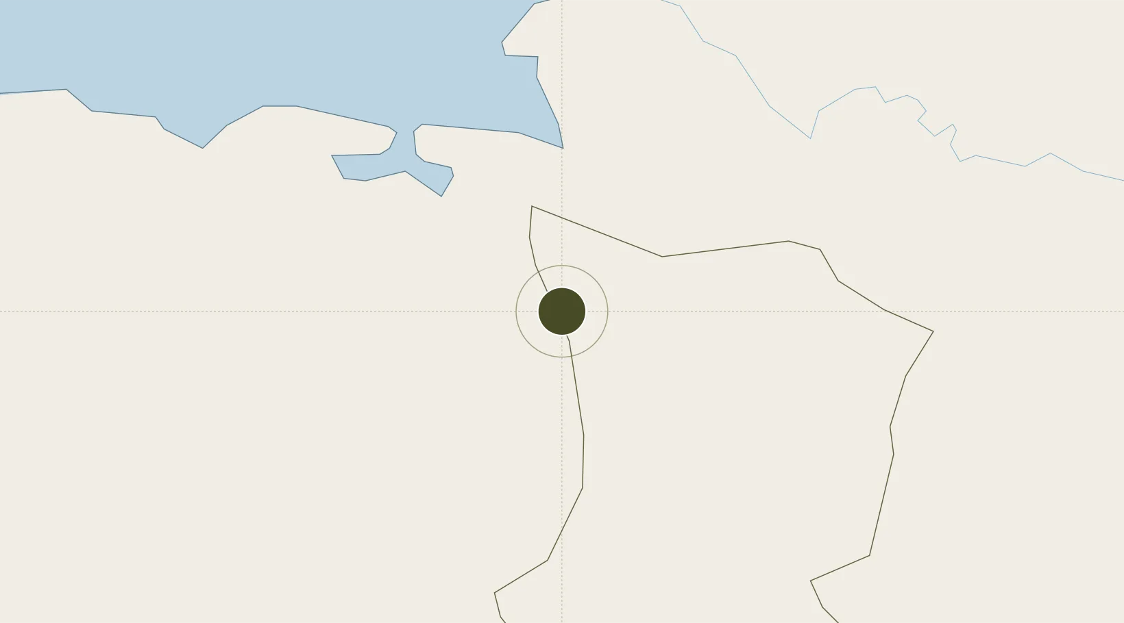
19.5616°, -71.7210°
12 ha
Zone area
15.7 km
Nearest port
53.4 km
Nearest airport

Gateway access

Nearest neighbours — logibook spatial index (haversine) over the source coordinates

Zone profile

Zone type
Free Zone
the World Bank SEZ database
Region
Dajabón
the World Bank SEZ database
Status
Active
the World Bank SEZ database
Established
2003
the World Bank SEZ database
Management
Private management
the World Bank SEZ database
Operator
Grupo M
the World Bank SEZ database
Regulatory authority
Conseil National des Zones Franches (CNZF)
the World Bank SEZ database
Legal framework
Free Zones Act
the World Bank SEZ database

Location

Location of HTI1
Natural Earth 10m (public domain) · Dajabón · HTI1 · 19.56, -71.72GoogleOSMYandex

Fiscal & incentives

Corporate tax
24%
the World Bank SEZ database
Tax relief
100% exempt
the World Bank SEZ database
Relief duration
15 years
the World Bank SEZ database
VAT
No exemption
the World Bank SEZ database
Import duty (inputs)
0% exempt
the World Bank SEZ database
Import duty (capex)
100% exempt
the World Bank SEZ database
Profit repatriation
No exemption
the World Bank SEZ database
Capital gains
No exemption
the World Bank SEZ database
Withholding tax
No exemption
the World Bank SEZ database
Min. investment
None
the World Bank SEZ database
Min. export
0%
the World Bank SEZ database
Employment incentive
No exemption
the World Bank SEZ database
Developer incentive
Yes
the World Bank SEZ database

Nearby Logistics Neighbours

Ports
  1. 1Pepillo Salcedo16 km
  2. 2Manzanillo18 km
  3. 3Cap Haitien55 km
  4. 4Amber Cove104 km
  5. 5Puerto Plata110 km
Nearest neighbours — logibook spatial index (haversine) over the source coordinates
Airports
  1. 1Cap Haitien International Airport53 km
  2. 2Cibao International Airport118 km
  3. 3Gregorio Luperon International Airport123 km
  4. 4Toussaint Louverture International Airport125 km
  5. 5Port-de-Paix Airport125 km
Nearest neighbours — logibook spatial index (haversine) over the source coordinates
Cities
  1. 1Mao12 km
  2. 2Manzanillo16 km
  3. 3Caracol34 km
  4. 4Cap-Haïtien54 km
  5. 5Piloto55 km
Nearest neighbours — logibook spatial index (haversine) over the source coordinates
Trade Zones
  1. 1Caracol Free Zone33 km
  2. 2FTZ de Trou du Nord33 km
  3. 3Zona Franca Industrial Valverde Mao (ZOFINMA)66 km
  4. 4Zona Franca Industrial Boca de Mao (Boca De Mao Free Trade Zone)71 km
  5. 5Zona Franca de Esperanza77 km
Nearest neighbours — logibook spatial index (haversine) over the source coordinates
DatabookThe Record of Consolidated Knowledge
Haiti beyond logistics?
Browse databook

All Sources

Trade Zonesthe World Bank SEZ database
CC BY 4.0
Portsthe NGA World Port Index
Public domain (US gov)
AirportsOurAirports
Public domain
LocationsUN/LOCODE
UN/LOCODE — free
← Haiti trade zones