Cockburn HarborTC9CB

21.5000°, -71.5333°
3.4 m
Channel depth
Cockburn Harbor is also a UN/LOCODE logistics hub →

Channel & Berth Profile

SEA LEVEL (CD)CHANNEL BEDAnchorage · 3.0 mChannel · 3.4 mCargo pier · 3.4 mOil terminal · 3.4 m
NGA World Port Index

Pilotage, Tugs & Services

Pilotage compulsoryNO
Pilotage availableYES
Local assistanceYES
Potable waterYES
Diesel bunkersYES
MedicalYES
NGA World Port Index

Facilities & Capabilities

Container
Ro-Ro
Liquid bulk
Dry bulk
Oil terminal
Break bulk
Dry dock
Repairs
BunkeringYES
Rail link
Dangerous cargo
ISPS security
NGA World Port Index

Harbour Specifications
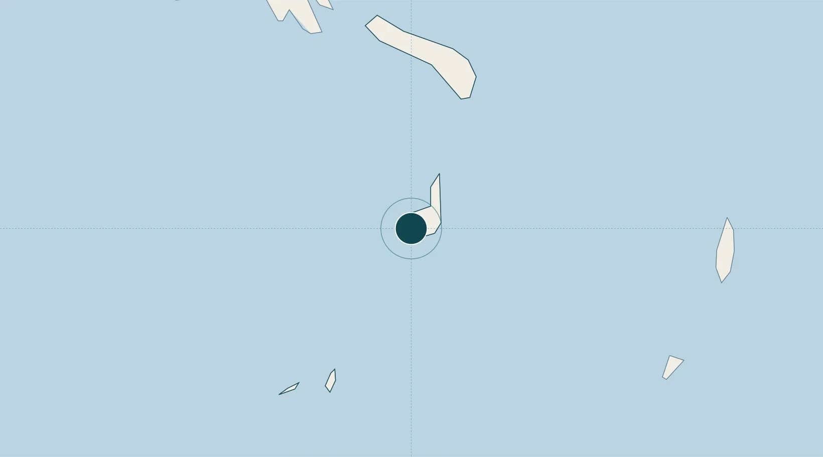
Harbour size
Very Small
NGA World Port Index
Harbour type
Open Roadstead
NGA World Port Index
Shelter
Good
NGA World Port Index
Water body
North Atlantic Ocean
NGA World Port Index
Pilotage
No
NGA World Port Index

Location

Location of TC9CB
Natural Earth 10m (public domain) · South Caicos and East Caicos · TC9CB · 21.50, -71.53GoogleOSMYandex

Nearby Logistics Neighbours

Ports
  1. 1Grand Turk40 km
  2. 2Providenciales82 km
  3. 3Manzanillo200 km
  4. 4Pepillo Salcedo201 km
  5. 5Amber Cove202 km
Nearest neighbours — logibook spatial index (haversine) over the source coordinates
Cities
  1. 1Luperon188 km
  2. 2Manzanillo201 km
  3. 3Cap-Haïtien205 km
  4. 4Caracol208 km
  5. 5Piloto214 km
Nearest neighbours — logibook spatial index (haversine) over the source coordinates
Airports
  1. 1South Caicos Airport2 km
  2. 2Salt Cay Airport39 km
  3. 3JAGS McCartney International Airport41 km
  4. 4North Caicos Airport63 km
  5. 5Providenciales International Airport82 km
Nearest neighbours — logibook spatial index (haversine) over the source coordinates
Trade Zones
  1. 1Zona Franca Industrial Tamboril (ZFT)148 km
  2. 2Limestone Park188 km
  3. 3Zona Franca Bahia de Maimon206 km
  4. 4Puerto Plata Industrial Free Zone207 km
  5. 5Caracol Free Zone210 km
Nearest neighbours — logibook spatial index (haversine) over the source coordinates
DatabookThe Record of Consolidated Knowledge
Turks & Caicos Islands beyond logistics?
Browse databook

All Sources

Portsthe NGA World Port Index
Public domain (US gov)
AirportsOurAirports
Public domain
LocationsUN/LOCODE
UN/LOCODE — free
Trade Zonesthe World Bank SEZ database
CC BY 4.0
Trade ZonesOpen Zone Map
CC BY
← Turks & Caicos Islands ports