Transport Functions
Port
Rail
Road
Hub Profile
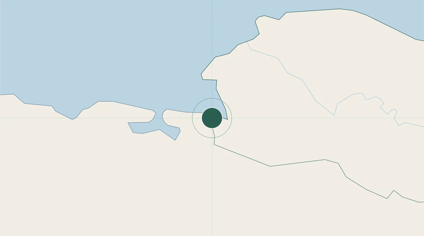
Place type
Populated place
Region
Monte Cristi Province
Time zone
America/Santo_Domingo
Elevation
8 m
Location
Nearby Logistics Neighbours
Cities
- 1Mao17 km
- 2Caracol28 km
- 3Cap-Haïtien47 km
- 4Piloto59 km
- 5Luperon87 km
Ports
- 1Pepillo Salcedo0 km
- 2Cap Haitien48 km
- 3Amber Cove104 km
- 4Puerto Plata110 km
- 5Port Au Prince143 km
Airports
Trade Zones
DatabookThe Record of Consolidated Knowledge
Dominican Republic beyond logistics?