Channel & Berth Profile
Pilotage, Tugs & Services
Pilotage compulsoryYES
Pilotage availableYES
Tug assistanceYES
Salvage tugsNO
Potable waterYES
MedicalYES
Facilities & Capabilities
ContainerYES
Ro-RoYES
Liquid bulk—
Dry bulkYES
Oil terminal—
Break bulkYES
Dry dock—
Repairs—
BunkeringYES
Rail link—
Dangerous cargo—
ISPS securityYES
Harbour Specifications
Harbour size
Very Small
Harbour type
Open Roadstead
Shelter
Fair
Water body
North Atlantic Ocean
Tidal range
0.5 m
Overhead limit
Yes
Pilotage
Yes
Liner Connectivity
30.9
PLSCI
Port Liner Shipping Connectivity Index for Cap Haitien, as published by UNCTAD for the latest available quarter. Higher values indicate stronger scheduled liner-shipping integration.
Shown relative to the highest per-port PLSCI in the dataset (1,657.9).
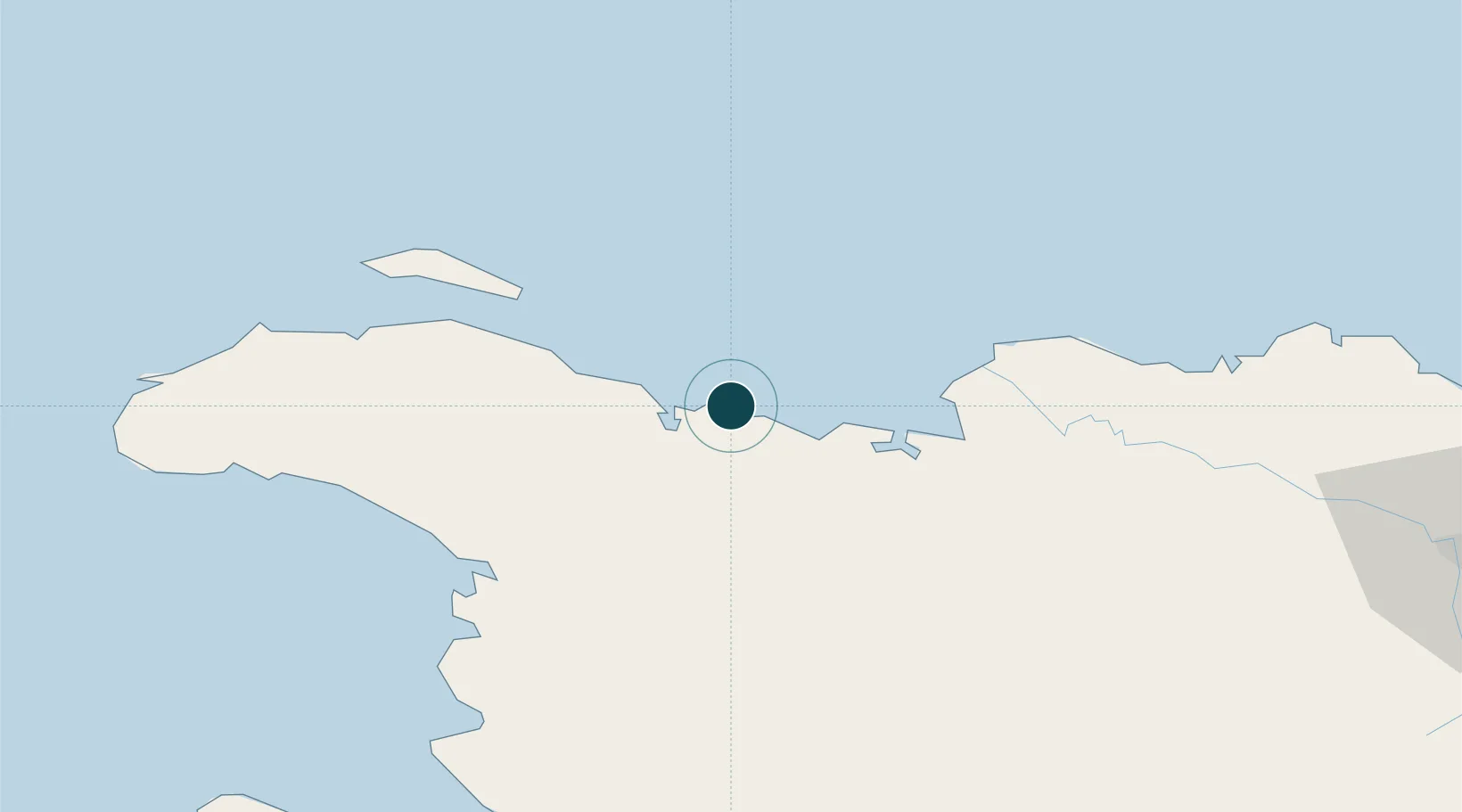
Location
Nearby Logistics Neighbours
Ports
- 1Manzanillo47 km
- 2Pepillo Salcedo48 km
- 3Port Au Prince136 km
- 4Amber Cove150 km
- 5Puerto Plata157 km
Cities
- 1Caracol21 km
- 2Mao44 km
- 3Manzanillo48 km
- 4Baie de Saint-Marc89 km
- 5Piloto106 km
Airports
Trade Zones
- 1Caracol Free Zone23 km
- 2FTZ de Trou du Nord24 km
- 3CODEVI Free Zone55 km
- 4Zona Franca Industrial Valverde Mao (ZOFINMA)119 km
- 5Lafito Port Free Zone121 km
DatabookThe Record of Consolidated Knowledge
Haiti beyond logistics?