Transport Functions
Port
Road
Multimodal
Hub Profile
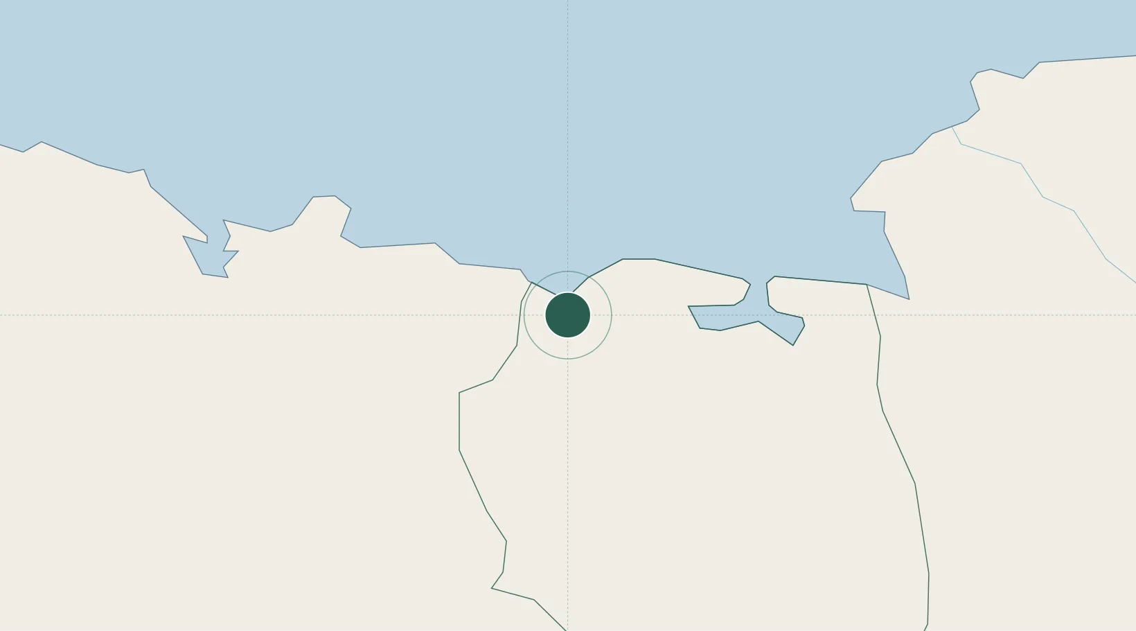
Place type
Populated place
Region
Nord-Est
Population
1,549
Time zone
America/Port-au-Prince
Elevation
7 m
Location
Nearby Logistics Neighbours
Cities
- 1Cap-Haïtien21 km
- 2Mao23 km
- 3Manzanillo28 km
- 4Piloto86 km
- 5Baie de Saint-Marc95 km
Ports
- 1Cap Haitien21 km
- 2Pepillo Salcedo28 km
- 3Manzanillo28 km
- 4Port Au Prince131 km
- 5Amber Cove132 km
Airports
DatabookThe Record of Consolidated Knowledge
Haiti beyond logistics?