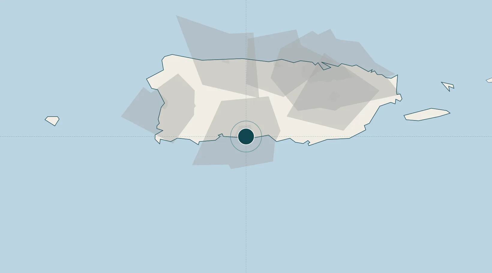
Seaport · Puerto Rico
Playa De PoncePRPSE
17.9833°, -66.6167°
9.4 m
Channel depth
10.5
Port liner connectivity
Channel & Berth Profile
Pilotage, Tugs & Services
Pilotage compulsoryYES
Pilotage availableYES
Pilotage advisableYES
Tug assistanceYES
Shore powerYES
Potable waterYES
Diesel bunkersYES
MedicalYES
Garbage disposalYES
Facilities & Capabilities
Container—
Ro-Ro—
Liquid bulk—
Dry bulk—
Oil terminal—
Break bulk—
Dry dock—
RepairsNO
BunkeringYES
Rail link—
Dangerous cargo—
ISPS security—
Harbour Specifications
Harbour size
Medium
Harbour type
Coastal (Breakwater)
Shelter
Fair
Water body
Caribbean Sea; North Atlantic Ocean
Pilotage
Yes
Liner Connectivity
10.5
PLSCI
Port Liner Shipping Connectivity Index for Playa De Ponce, as published by UNCTAD for the latest available quarter. Higher values indicate stronger scheduled liner-shipping integration.
Shown relative to the highest per-port PLSCI in the dataset (1,657.9).
Location
Nearby Logistics Neighbours
Ports
- 1Playa De Guayanilla16 km
- 2Playa De Guanica32 km
- 3Bahia De Jobos46 km
- 4Las Mareas48 km
- 5Arecibo56 km
Cities
- 1Guayanilla21 km
- 2Guanica32 km
- 3Salinas39 km
- 4Puerto de Jobos46 km
- 5San Sebastián51 km
Airports
Trade Zones
- 1FTZ No. 163 Ponce8 km
- 2FTZ No. 007 Mayaguez63 km
- 3FTZ No. 061 San Juan68 km
- 4Punta Cana Airport196 km
- 5Zona Franca Industrial Higuey231 km
DatabookThe Record of Consolidated Knowledge
Puerto Rico beyond logistics?