Medium airport · Puerto Rico

Mercedita International AirportTJPS
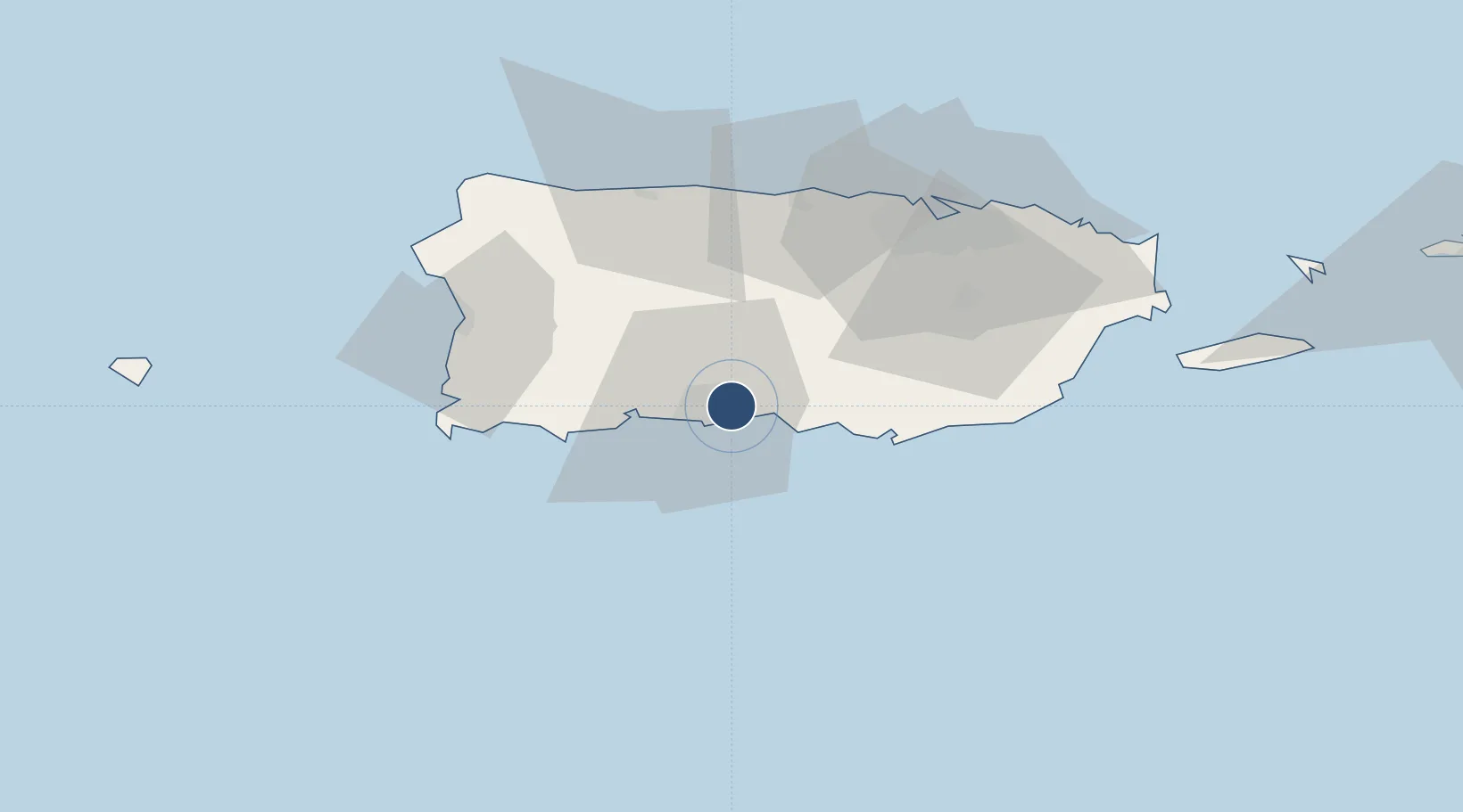
18.0083°, -66.5630°
6,904 ft
Longest runway
1
Runways
29 ft
Elevation

Runway & Layout

Mercedita International Airport runway & taxiway layout
Runway & taxiway layout — OpenStreetMap (ODbL) / OurAirports

Radio Frequencies

CLD
121.9 MHz
CLNC DEL
A/D
118.75 MHz
SAN JUAN CNTR
RDO
109 MHz
SAN JUAN RDO
UNIC
122.7 MHz
CTAF/UNICOM
OurAirports

Navaids

PSE VOR-DME Ponce 109.00 MHz
OurAirports

Runways · 1

RunwayDimensions SurfaceTrue headingLit
12/30 6,904 × 150ft Asphalt 108°
OurAirports

Airport Specifications

IATA code
PSE
OurAirports
ICAO code
TJPS
OurAirports
Airport class
Medium airport
OurAirports
Scheduled service
Yes
OurAirports
Runway surface
Asphalt
OurAirports
Served city
Ponce
OurAirports

Location

Location of TJPS
Natural Earth 10m (public domain) · Puerto Rico · TJPS · 18.01, -66.56GoogleOSMYandex

Nearby Logistics Neighbours

Airports
  1. 1Antonio Nery Juarbe Pol Airport51 km
  2. 2Eugenio Maria De Hostos Airport68 km
  3. 3San Juan Seaplane Base68 km
  4. 4Fernando Luis Ribas Dominicci Airport70 km
  5. 5Luis Munoz Marin International Airport76 km
Nearest neighbours — logibook spatial index (haversine) over the source coordinates
Cities
  1. 1Guayanilla27 km
  2. 2Salinas33 km
  3. 3Guanica38 km
  4. 4Puerto de Jobos41 km
  5. 5Arroyo53 km
Nearest neighbours — logibook spatial index (haversine) over the source coordinates
Ports
  1. 1Playa De Ponce6 km
  2. 2Playa De Guayanilla22 km
  3. 3Playa De Guanica38 km
  4. 4Bahia De Jobos41 km
  5. 5Las Mareas42 km
Nearest neighbours — logibook spatial index (haversine) over the source coordinates
Trade Zones
  1. 1FTZ No. 163 Ponce2 km
  2. 2FTZ No. 061 San Juan62 km
  3. 3FTZ No. 007 Mayaguez67 km
  4. 4Punta Cana Airport200 km
  5. 5Zona Franca Industrial Higuey236 km
Nearest neighbours — logibook spatial index (haversine) over the source coordinates
DatabookThe Record of Consolidated Knowledge
Puerto Rico beyond logistics?
Browse databook

All Sources

AirportsOurAirports
Public domain
Portsthe NGA World Port Index
Public domain (US gov)
LocationsUN/LOCODE
UN/LOCODE — free
Trade Zonesthe World Bank SEZ database
CC BY 4.0
Trade ZonesOpen Zone Map
CC BY
← Puerto Rico airports