Transport Functions
Port
Airport
Hub Profile
Place type
Regional capital
Region
Ponce
Population
137,491
Time zone
America/Puerto_Rico
Elevation
15 m
Logistics facilities
1
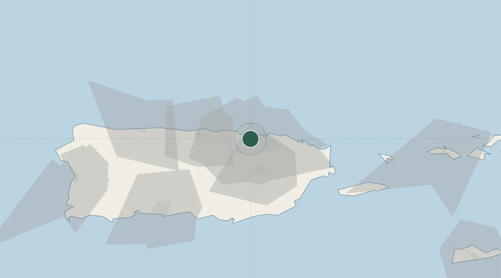
Location
Nearby Logistics Neighbours
Cities
- 1San Juan0 km
- 2Trujillo Bajo, Carolina18 km
- 3Las Pinas28 km
- 4Río Grande31 km
- 5Puerto Yabucoa51 km
Ports
- 1San Juan5 km
- 2Playa De Humacao47 km
- 3Bahia De Fajardo51 km
- 4Puerto Yabucoa51 km
- 5Arroyo52 km
Airports
Trade Zones
- 1FTZ No. 061 San Juan5 km
- 2FTZ No. 163 Ponce67 km
- 3FTZ No. 007 Mayaguez115 km
- 4Punta Cana Airport239 km
- 5Zona Franca Industrial Higuey276 km
DatabookThe Record of Consolidated Knowledge
Puerto Rico beyond logistics?