Channel & Berth Profile
Pilotage, Tugs & Services
Pilotage availableYES
Tug assistanceYES
MedicalYES
Facilities & Capabilities
Container—
Ro-Ro—
Liquid bulk—
Dry bulk—
Oil terminal—
Break bulk—
Dry dock—
Repairs—
BunkeringYES
Rail link—
Dangerous cargo—
ISPS security—
Harbour Specifications
Harbour size
Very Small
Harbour type
Open Roadstead
Shelter
Poor
Water body
Caribbean Sea; North Atlantic Ocean
Tidal range
0.3 m
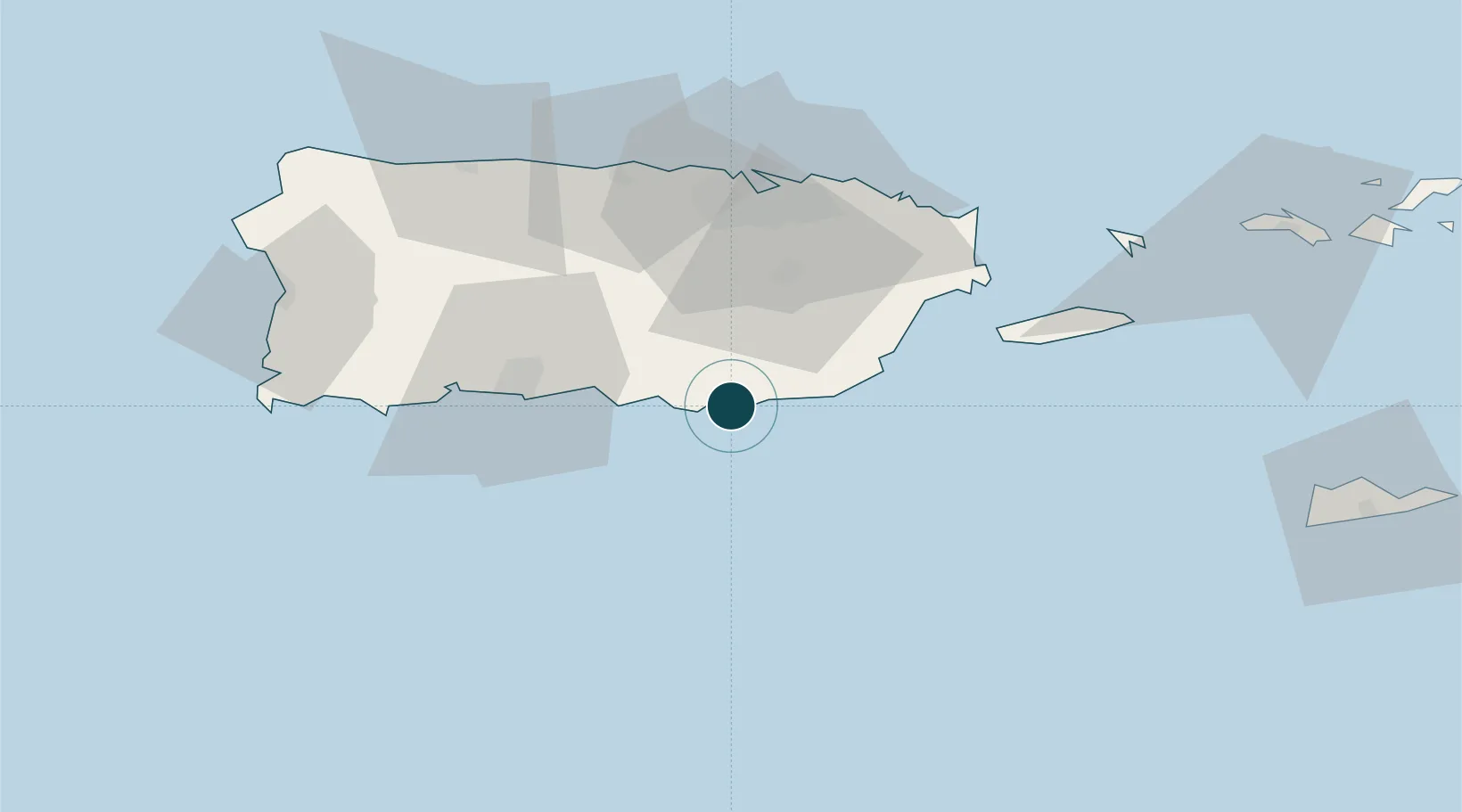
Location
Nearby Logistics Neighbours
Ports
- 1Bahia De Jobos2 km
- 2Arroyo11 km
- 3Puerto Yabucoa37 km
- 4Playa De Ponce48 km
- 5Playa De Humacao50 km
Cities
- 1Puerto de Jobos2 km
- 2Salinas9 km
- 3Arroyo11 km
- 4Puerto Yabucoa37 km
- 5Las Pinas43 km
Airports
Trade Zones
- 1FTZ No. 163 Ponce41 km
- 2FTZ No. 061 San Juan49 km
- 3FTZ No. 007 Mayaguez109 km
- 4Punta Cana Airport242 km
- 5Zona Franca Industrial Higuey278 km
DatabookThe Record of Consolidated Knowledge
Puerto Rico beyond logistics?