Medium airport · Puerto Rico

Fernando Luis Ribas Dominicci AirportTJIG
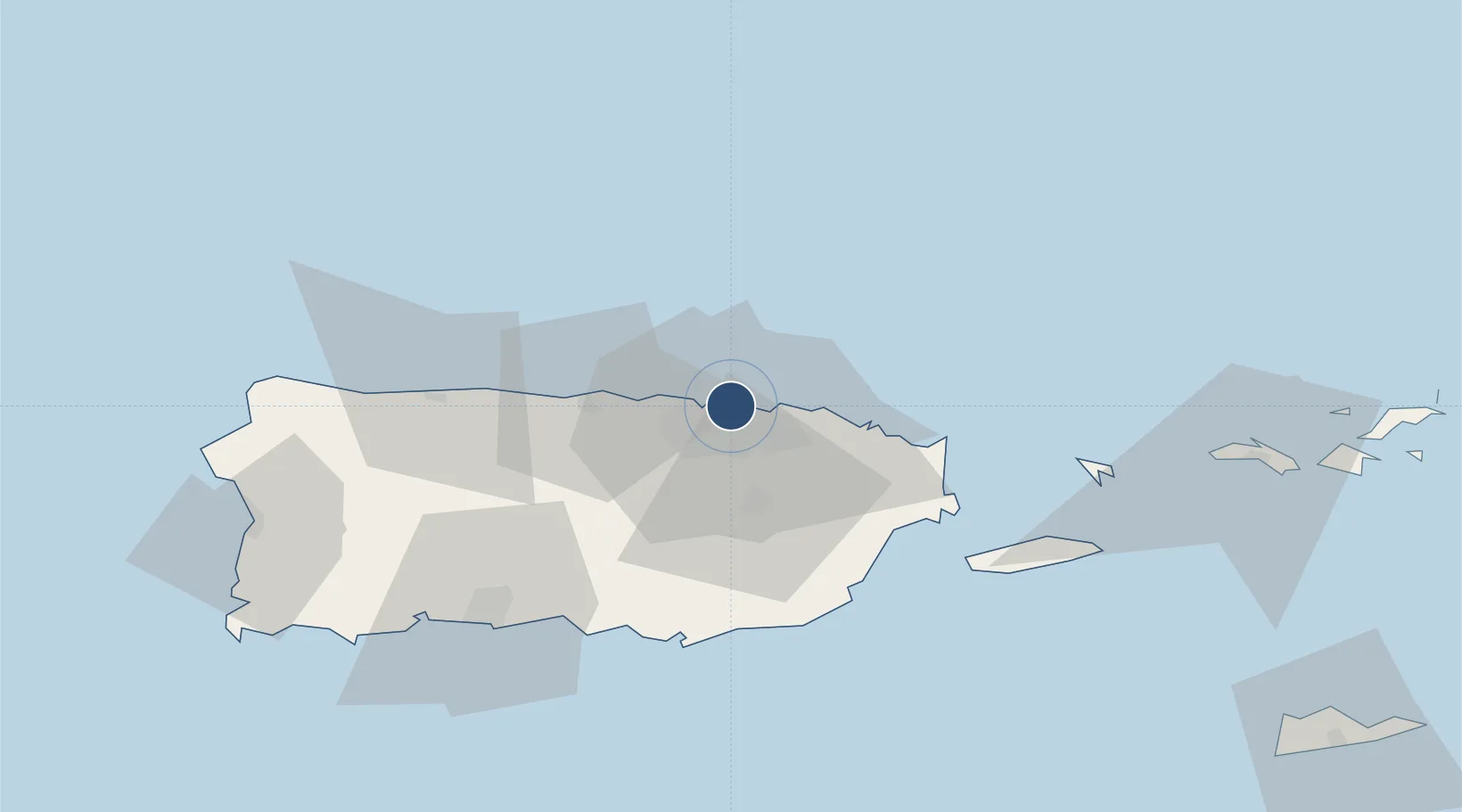
18.4568°, -66.0981°
5,317 ft
Longest runway
1
Runways
10 ft
Elevation

Runway & Layout

Fernando Luis Ribas Dominicci Airport runway & taxiway layout
Runway & taxiway layout — OpenStreetMap (ODbL) / OurAirports

Radio Frequencies

ATIS
120.4 MHz
TWR
135.875 MHz
GND
121.7 MHz
CTAF
135.875 MHz
A/D
119.4 MHz
SAN JUAN CNTR
OPS
30.4 MHz
PRARNG OPS
OurAirports

Runways · 1

RunwayDimensions SurfaceTrue headingLit
09/27 5,317 × 100ft Asphalt 083°
OurAirports

Airport Specifications

IATA code
SIG
OurAirports
ICAO code
TJIG
OurAirports
Airport class
Medium airport
OurAirports
Scheduled service
Yes
OurAirports
Runway surface
Asphalt
OurAirports
Served city
San Juan
OurAirports

Location

Location of TJIG
Natural Earth 10m (public domain) · Puerto Rico · TJIG · 18.46, -66.10GoogleOSMYandex

Nearby Logistics Neighbours

Airports
  1. 1San Juan Seaplane Base2 km
  2. 2Luis Munoz Marin International Airport10 km
  3. 3José Aponte de la Torre Airport54 km
  4. 4Antonio Nery Juarbe Pol Airport61 km
  5. 5Mercedita International Airport70 km
Nearest neighbours — logibook spatial index (haversine) over the source coordinates
Cities
  1. 1San Juan3 km
  2. 2Ponce3 km
  3. 3Trujillo Bajo, Carolina19 km
  4. 4Las Pinas30 km
  5. 5Río Grande31 km
Nearest neighbours — logibook spatial index (haversine) over the source coordinates
Ports
  1. 1San Juan2 km
  2. 2Playa De Humacao49 km
  3. 3Bahia De Fajardo51 km
  4. 4Puerto Yabucoa53 km
  5. 5Arroyo55 km
Nearest neighbours — logibook spatial index (haversine) over the source coordinates
Trade Zones
  1. 1FTZ No. 061 San Juan8 km
  2. 2FTZ No. 163 Ponce69 km
  3. 3FTZ No. 007 Mayaguez116 km
  4. 4Punta Cana Airport240 km
  5. 5Zona Franca Industrial Higuey276 km
Nearest neighbours — logibook spatial index (haversine) over the source coordinates
DatabookThe Record of Consolidated Knowledge
Puerto Rico beyond logistics?
Browse databook

All Sources

AirportsOurAirports
Public domain
Portsthe NGA World Port Index
Public domain (US gov)
LocationsUN/LOCODE
UN/LOCODE — free
Trade Zonesthe World Bank SEZ database
CC BY 4.0
Trade ZonesOpen Zone Map
CC BY
← Puerto Rico airports