Transport Functions
Port
Hub Profile
Place type
Regional capital
Region
Salinas
Population
6,375
Time zone
America/Puerto_Rico
Elevation
7 m
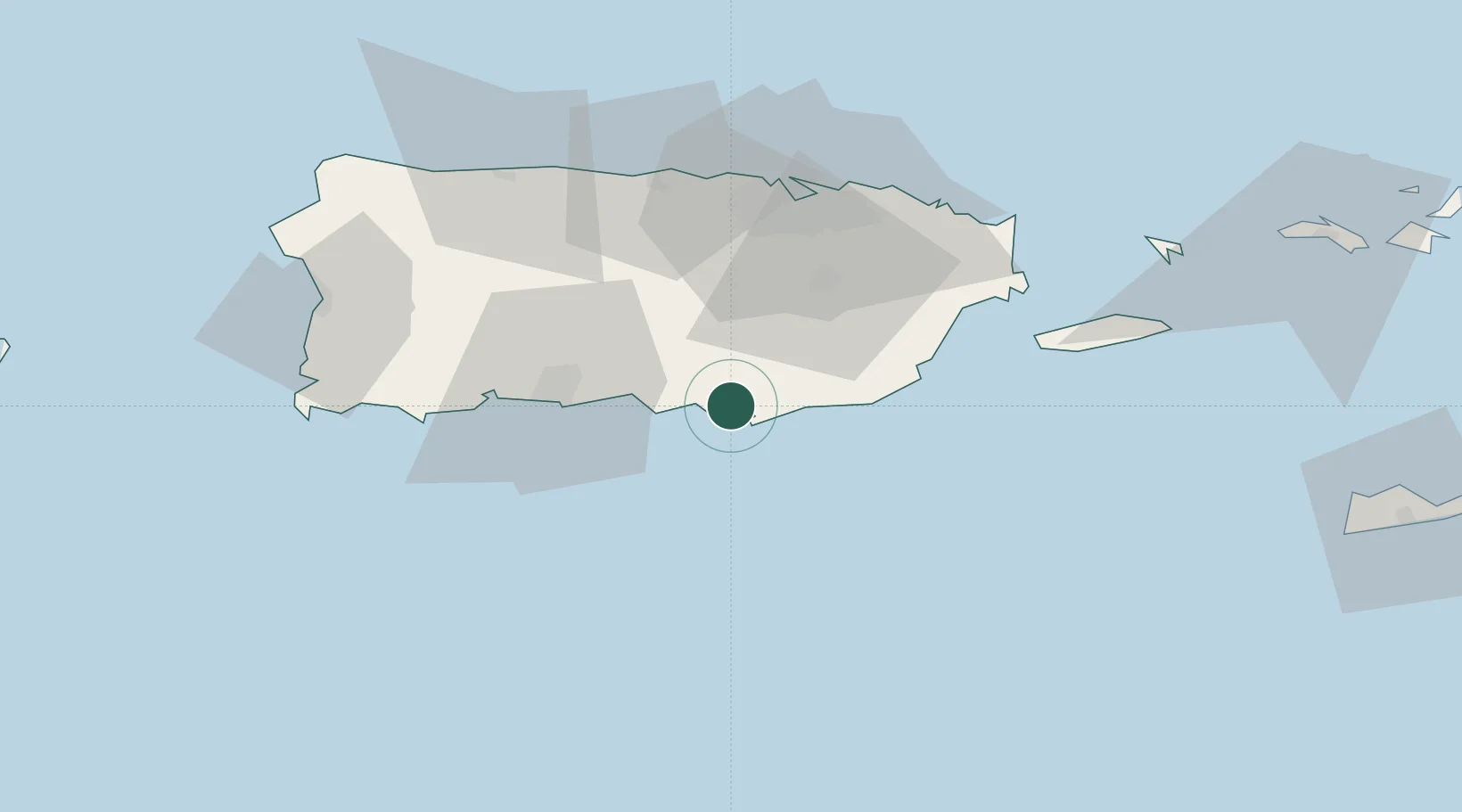
Location
Nearby Logistics Neighbours
Cities
- 1Puerto de Jobos7 km
- 2Arroyo19 km
- 3Puerto Yabucoa45 km
- 4Las Pinas47 km
- 5Ponce54 km
Ports
- 1Bahia De Jobos7 km
- 2Las Mareas9 km
- 3Arroyo19 km
- 4Playa De Ponce39 km
- 5Puerto Yabucoa45 km
Airports
Trade Zones
- 1FTZ No. 163 Ponce32 km
- 2FTZ No. 061 San Juan49 km
- 3FTZ No. 007 Mayaguez100 km
- 4Punta Cana Airport233 km
- 5Zona Franca Industrial Higuey269 km
DatabookThe Record of Consolidated Knowledge
Puerto Rico beyond logistics?