Channel & Berth Profile
Pilotage, Tugs & Services
Pilotage compulsoryYES
Pilotage availableYES
Tug assistanceYES
Salvage tugsNO
Potable waterYES
Diesel bunkersNO
MedicalYES
Garbage disposalNO
Facilities & Capabilities
Container—
Ro-Ro—
Liquid bulk—
Dry bulk—
Oil terminal—
Break bulk—
Dry dock—
RepairsNO
BunkeringYES
Rail link—
Dangerous cargo—
ISPS security—
Harbour Specifications
Harbour size
Small
Harbour type
Open Roadstead
Shelter
Good
Water body
Caribbean Sea; North Atlantic Ocean
Tidal range
0.3 m
Overhead limit
Yes
Pilotage
Yes
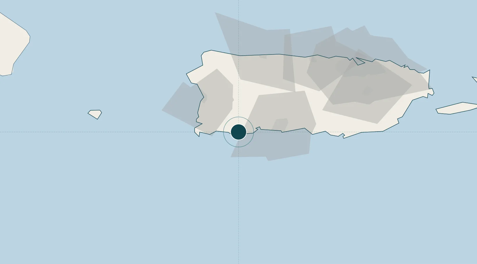
Location
Nearby Logistics Neighbours
Ports
- 1Playa De Guayanilla17 km
- 2Playa De Ponce32 km
- 3Mayaguez36 km
- 4Aguadilla57 km
- 5Arecibo62 km
Cities
- 1Guayanilla11 km
- 2Cabo Rojo26 km
- 3San Sebastián37 km
- 4Salinas71 km
- 5Puerto de Jobos78 km
Airports
Trade Zones
- 1FTZ No. 007 Mayaguez37 km
- 2FTZ No. 163 Ponce39 km
- 3FTZ No. 061 San Juan95 km
- 4Punta Cana Airport167 km
- 5Zona Franca Industrial Higuey202 km
DatabookThe Record of Consolidated Knowledge
Puerto Rico beyond logistics?