Medium airport · Puerto Rico

Eugenio Maria De Hostos AirportTJMZ
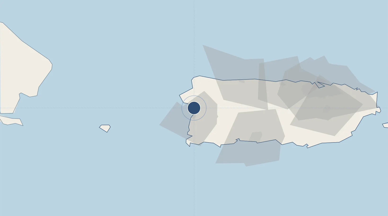
18.2557°, -67.1485°
4,998 ft
Longest runway
1
Runways
28 ft
Elevation

Runway & Layout

Eugenio Maria De Hostos Airport runway & taxiway layout
Runway & taxiway layout — OpenStreetMap (ODbL) / OurAirports

Radio Frequencies

CLD
121.7 MHz
CLNC DEL
A/D
118.75 MHz
SAN JUAN CNTR
RDO
110.6 MHz
SAN JUAN RDO
UNIC
122.8 MHz
CTAF/UNICOM
OurAirports

Navaids

MAZ VOR-DME Mayaguez 110.60 MHz
OurAirports

Runways · 1

RunwayDimensions SurfaceTrue headingLit
09/27 4,998 × 100ft Asphalt 076°
OurAirports

Airport Specifications

IATA code
MAZ
OurAirports
ICAO code
TJMZ
OurAirports
Airport class
Medium airport
OurAirports
Scheduled service
Yes
OurAirports
Runway surface
Asphalt
OurAirports
Served city
Mayaguez
OurAirports

Location

Location of TJMZ
Natural Earth 10m (public domain) · Puerto Rico · TJMZ · 18.26, -67.15GoogleOSMYandex

Nearby Logistics Neighbours

Airports
  1. 1Rafael Hernández International Airport27 km
  2. 2Antonio Nery Juarbe Pol Airport54 km
  3. 3Mercedita International Airport68 km
  4. 4San Juan Seaplane Base111 km
  5. 5Fernando Luis Ribas Dominicci Airport113 km
Nearest neighbours — logibook spatial index (haversine) over the source coordinates
Cities
  1. 1Cabo Rojo19 km
  2. 2San Sebastián20 km
  3. 3Guanica40 km
  4. 4Guayanilla48 km
  5. 5Salinas100 km
Nearest neighbours — logibook spatial index (haversine) over the source coordinates
Ports
  1. 1Mayaguez6 km
  2. 2Aguadilla20 km
  3. 3Playa De Guanica40 km
  4. 4Playa De Guayanilla48 km
  5. 5Arecibo54 km
Nearest neighbours — logibook spatial index (haversine) over the source coordinates
Trade Zones
  1. 1FTZ No. 007 Mayaguez6 km
  2. 2FTZ No. 163 Ponce69 km
  3. 3FTZ No. 061 San Juan109 km
  4. 4Punta Cana Airport133 km
  5. 5Zona Franca Industrial Higuey169 km
Nearest neighbours — logibook spatial index (haversine) over the source coordinates
DatabookThe Record of Consolidated Knowledge
Puerto Rico beyond logistics?
Browse databook

All Sources

AirportsOurAirports
Public domain
Portsthe NGA World Port Index
Public domain (US gov)
LocationsUN/LOCODE
UN/LOCODE — free
Trade Zonesthe World Bank SEZ database
CC BY 4.0
Trade ZonesOpen Zone Map
CC BY
← Puerto Rico airports