Export Processing Zone · Dominican Republic

Zona Franca Industrial Higuey Inactive
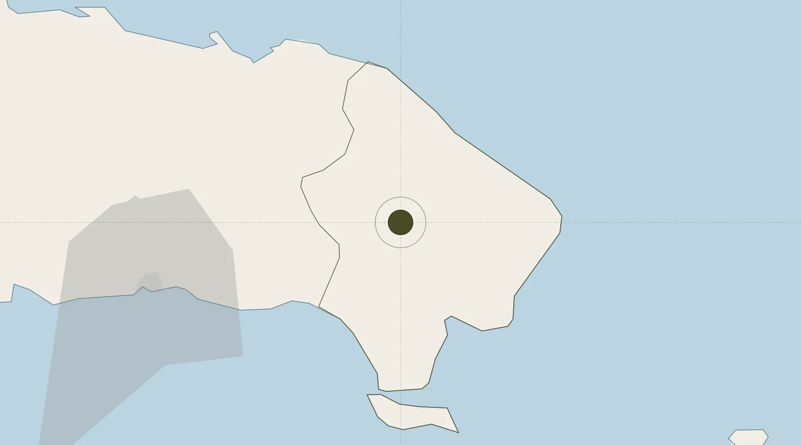
18.6022°, -68.7084°
6 ha
Zone area
34.2 km
Nearest port
27.1 km
Nearest airport

Gateway access

Nearest neighbours — logibook spatial index (haversine) over the source coordinates

Zone profile

Zone type
Export Processing Zone
Open Zone Map
Region
La Altagracia
Open Zone Map
Status
Inactive
Open Zone Map
Management
Public
Open Zone Map
Operator
PROINDUSTRIA
Open Zone Map
Legal framework
Law 8-90, Amended in December 2007
Open Zone Map

Location

Location of ozm-1777
Natural Earth 10m (public domain) · La Altagracia · ozm-1777 · 18.60, -68.71GoogleOSMYandex

Nearby Logistics Neighbours

Ports
  1. 1La Romana34 km
  2. 2San Pedro De Macoris66 km
  3. 3Santa Barbara De Samana94 km
  4. 4Andres (Andres Lng Terminal)99 km
  5. 5Sanchez119 km
Nearest neighbours — logibook spatial index (haversine) over the source coordinates
Airports
  1. 1Casa De Campo International Airport27 km
  2. 2Punta Cana International Airport36 km
  3. 3Los Llanos de Sabanatosa Airport86 km
  4. 4Las Américas International Airport103 km
  5. 5San Isidro Air Base112 km
Nearest neighbours — logibook spatial index (haversine) over the source coordinates
Cities
  1. 1Casa de Campo30 km
  2. 2Catalina Island40 km
  3. 3San Pedro de Macorís65 km
  4. 4Juan Dolio78 km
  5. 5Sabana de la Mar88 km
Nearest neighbours — logibook spatial index (haversine) over the source coordinates
Trade Zones
  1. 1La Romana I Industrial Free Zone33 km
  2. 2La Romana II Industrial Free Zone33 km
  3. 3Zona Franca La Romana34 km
  4. 4Punta Cana Airport36 km
  5. 5Zona Franca Industrial El Seibo41 km
Nearest neighbours — logibook spatial index (haversine) over the source coordinates
DatabookThe Record of Consolidated Knowledge
Dominican Republic beyond logistics?
Browse databook

All Sources

Trade ZonesOpen Zone Map
CC BY
Portsthe NGA World Port Index
Public domain (US gov)
AirportsOurAirports
Public domain
LocationsUN/LOCODE
UN/LOCODE — free
← Dominican Republic trade zones