UN/LOCODE hub · Puerto Rico
PRGUY
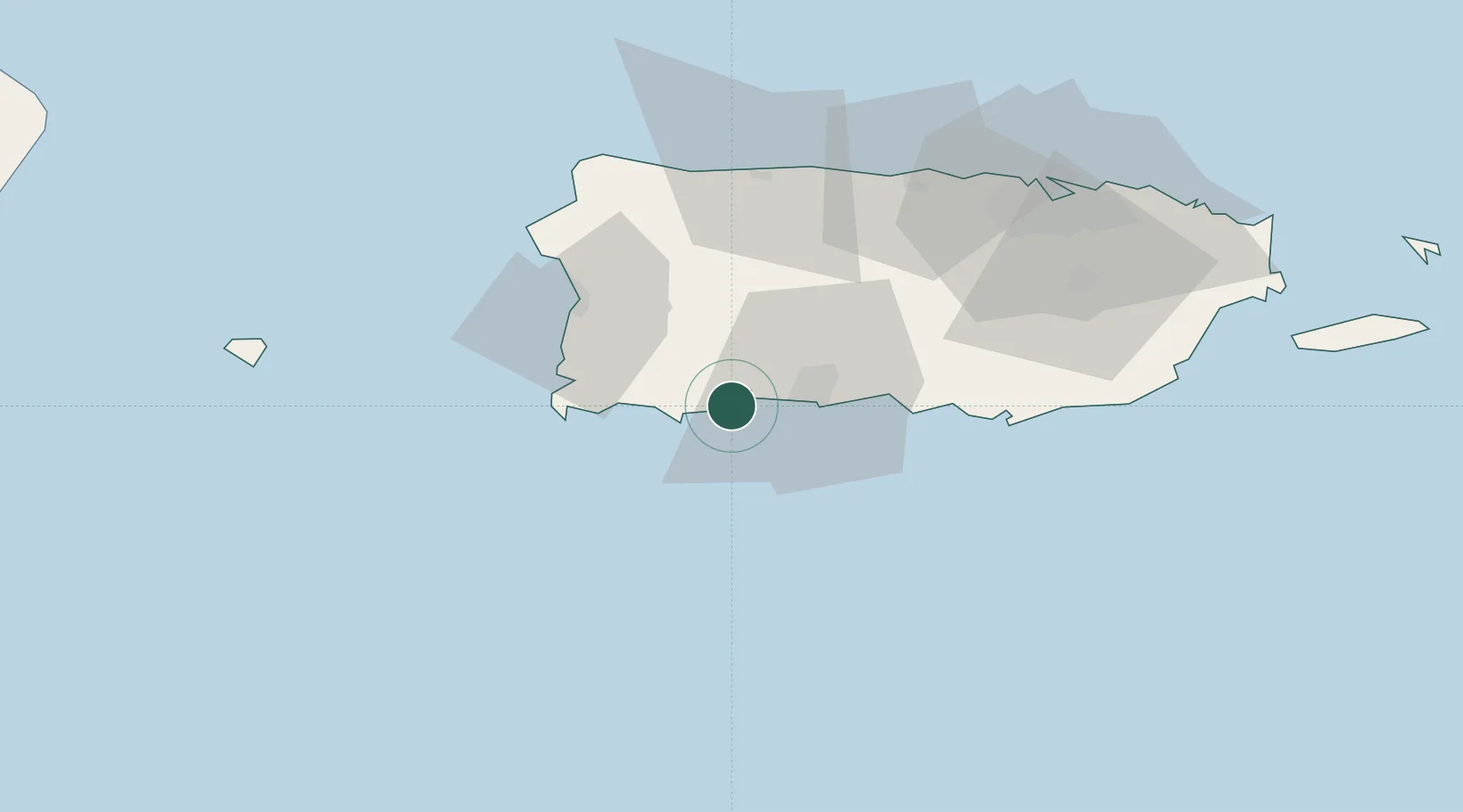
Guayanilla
17.9667°, -66.8167°
5,213
Population
2
Transport functions
Transport Functions
Port
Road
Hub Profile
Place type
Regional capital
Region
Guayanilla
Population
5,213
Time zone
America/Puerto_Rico
Elevation
10 m
Location
Nearby Logistics Neighbours
Cities
- 1Guanica11 km
- 2Cabo Rojo36 km
- 3San Sebastián40 km
- 4Salinas60 km
- 5Puerto de Jobos67 km
Ports
- 1Playa De Guanica11 km
- 2Playa De Ponce21 km
- 3Mayaguez44 km
- 4Arecibo59 km
- 5Aguadilla63 km
Airports
Trade Zones
- 1FTZ No. 163 Ponce29 km
- 2FTZ No. 007 Mayaguez45 km
- 3FTZ No. 061 San Juan86 km
- 4Punta Cana Airport177 km
- 5Zona Franca Industrial Higuey212 km
DatabookThe Record of Consolidated Knowledge
Puerto Rico beyond logistics?