Medium airport · Puerto Rico

Antonio Nery Juarbe Pol AirportTJAB
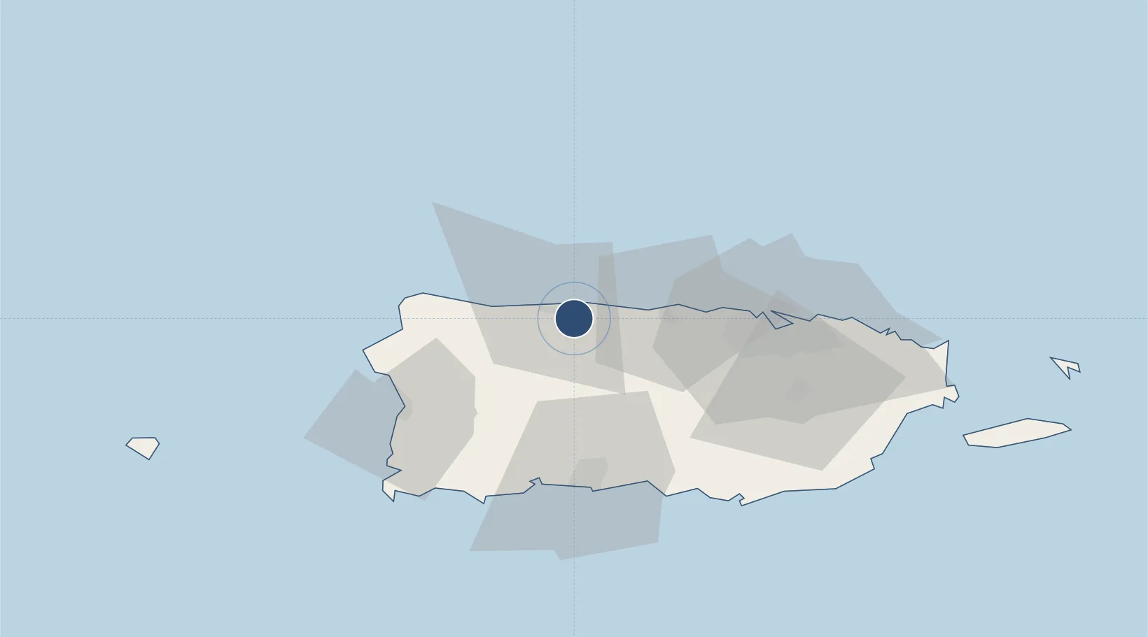
18.4508°, -66.6758°
3,975 ft
Longest runway
1
Runways
23 ft
Elevation

Runway & Layout

Antonio Nery Juarbe Pol Airport runway & taxiway layout
Runway & taxiway layout — OpenStreetMap (ODbL) / OurAirports

Radio Frequencies

FSS
122.2 MHz
SAN JUAN RDO
UNIC
122.8 MHz
CTAF/UNICOM
OurAirports

Runways · 1

RunwayDimensions SurfaceTrue headingLit
08/26 3,975 × 60ft Asphalt 068°
OurAirports

Airport Specifications

IATA code
ARE
OurAirports
ICAO code
TJAB
OurAirports
Airport class
Medium airport
OurAirports
Scheduled service
No
OurAirports
Runway surface
Asphalt
OurAirports
Served city
Arecibo
OurAirports

Location

Location of TJAB
Natural Earth 10m (public domain) · Puerto Rico · TJAB · 18.45, -66.68GoogleOSMYandex

Nearby Logistics Neighbours

Airports
  1. 1Rafael Hernández International Airport48 km
  2. 2Mercedita International Airport51 km
  3. 3Eugenio Maria De Hostos Airport54 km
  4. 4San Juan Seaplane Base59 km
  5. 5Fernando Luis Ribas Dominicci Airport61 km
Nearest neighbours — logibook spatial index (haversine) over the source coordinates
Cities
  1. 1San Sebastián35 km
  2. 2Guayanilla56 km
  3. 3Guanica60 km
  4. 4Ponce61 km
  5. 5San Juan61 km
Nearest neighbours — logibook spatial index (haversine) over the source coordinates
Ports
  1. 1Arecibo4 km
  2. 2Playa De Guayanilla49 km
  3. 3Aguadilla50 km
  4. 4Playa De Ponce52 km
  5. 5Mayaguez57 km
Nearest neighbours — logibook spatial index (haversine) over the source coordinates
Trade Zones
  1. 1FTZ No. 163 Ponce52 km
  2. 2FTZ No. 061 San Juan58 km
  3. 3FTZ No. 007 Mayaguez59 km
  4. 4Punta Cana Airport179 km
  5. 5Zona Franca Industrial Higuey215 km
Nearest neighbours — logibook spatial index (haversine) over the source coordinates
DatabookThe Record of Consolidated Knowledge
Puerto Rico beyond logistics?
Browse databook

All Sources

AirportsOurAirports
Public domain
Portsthe NGA World Port Index
Public domain (US gov)
LocationsUN/LOCODE
UN/LOCODE — free
Trade Zonesthe World Bank SEZ database
CC BY 4.0
Trade ZonesOpen Zone Map
CC BY
← Puerto Rico airports