Seaplane base · Puerto Rico

San Juan Seaplane BasePR34
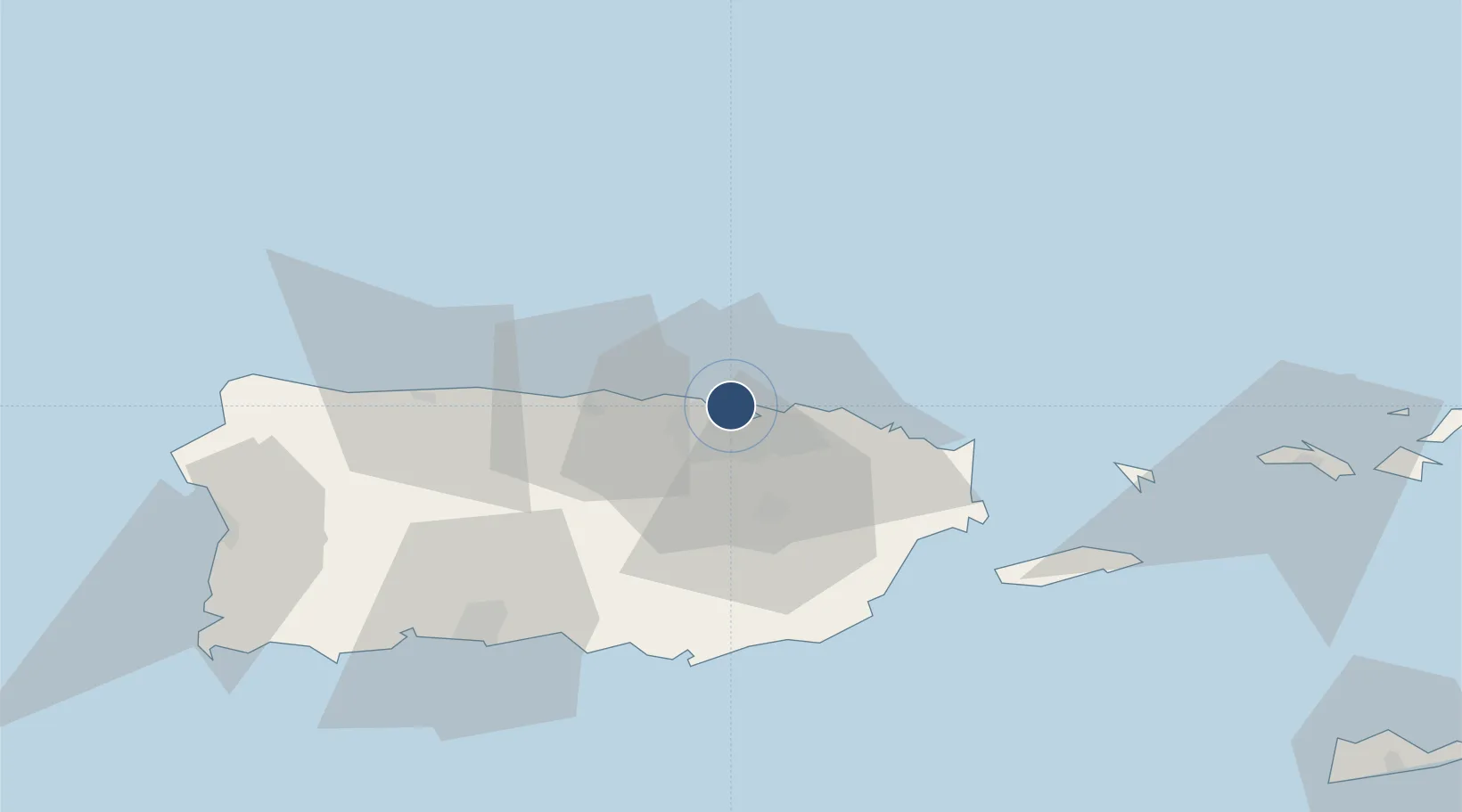
18.4578°, -66.1211°
10,000 ft
Longest runway
1
Runways
10 ft
Elevation

Runway & Layout

Runways · 1

RunwayDimensions SurfaceTrue headingLit
09W/27W 10,000 × 500ft Water
OurAirports

Airport Specifications

ICAO code
PR34
OurAirports
Airport class
Seaplane base
OurAirports
Scheduled service
Yes
OurAirports
Runway surface
Water
OurAirports
Served city
San Juan
OurAirports

Location

Location of PR34
Natural Earth 10m (public domain) · Puerto Rico · PR34 · 18.46, -66.12GoogleOSMYandex

Nearby Logistics Neighbours

Airports
  1. 1Fernando Luis Ribas Dominicci Airport2 km
  2. 2Luis Munoz Marin International Airport13 km
  3. 3José Aponte de la Torre Airport56 km
  4. 4Antonio Nery Juarbe Pol Airport59 km
  5. 5Mercedita International Airport68 km
Nearest neighbours — logibook spatial index (haversine) over the source coordinates
Cities
  1. 1Ponce4 km
  2. 2San Juan4 km
  3. 3Trujillo Bajo, Carolina21 km
  4. 4Las Pinas32 km
  5. 5Río Grande34 km
Nearest neighbours — logibook spatial index (haversine) over the source coordinates
Ports
  1. 1San Juan1 km
  2. 2Playa De Humacao51 km
  3. 3Bahia De Fajardo53 km
  4. 4Puerto Yabucoa55 km
  5. 5Arroyo55 km
Nearest neighbours — logibook spatial index (haversine) over the source coordinates
Trade Zones
  1. 1FTZ No. 061 San Juan8 km
  2. 2FTZ No. 163 Ponce68 km
  3. 3FTZ No. 007 Mayaguez114 km
  4. 4Punta Cana Airport237 km
  5. 5Zona Franca Industrial Higuey273 km
Nearest neighbours — logibook spatial index (haversine) over the source coordinates
DatabookThe Record of Consolidated Knowledge
Puerto Rico beyond logistics?
Browse databook

All Sources

AirportsOurAirports
Public domain
Portsthe NGA World Port Index
Public domain (US gov)
LocationsUN/LOCODE
UN/LOCODE — free
Trade Zonesthe World Bank SEZ database
CC BY 4.0
Trade ZonesOpen Zone Map
CC BY
← Puerto Rico airports