Foreign Trade Zone · United States

FTZ No. 061 San Juan Active
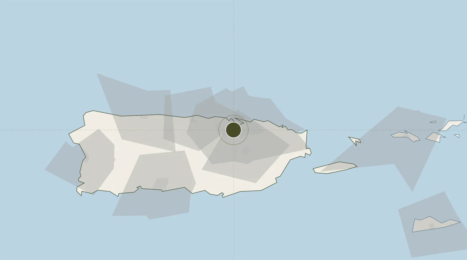
18.3892°, -66.1305°
8.7 km
Nearest port
7.7 km
Nearest airport

Gateway access

Nearest neighbours — logibook spatial index (haversine) over the source coordinates

Zone profile

Zone type
Foreign Trade Zone
Open Zone Map
Region
Puerto Rico
Open Zone Map
Status
Active
Open Zone Map
Management
Public
Open Zone Map
Operator
Department of Economic Development and Commerce
Open Zone Map
Legal framework
Foreign-Trade Zones Act
Open Zone Map

Location

Location of ozm-4761
Natural Earth 10m (public domain) · Puerto Rico · ozm-4761 · 18.39, -66.13GoogleOSMYandex

Nearby Logistics Neighbours

Ports
  1. 1San Juan9 km
  2. 2Playa De Humacao47 km
  3. 3Arroyo48 km
  4. 4Las Mareas49 km
  5. 5Puerto Yabucoa49 km
Nearest neighbours — logibook spatial index (haversine) over the source coordinates
Airports
  1. 1San Juan Seaplane Base8 km
  2. 2Fernando Luis Ribas Dominicci Airport8 km
  3. 3Luis Munoz Marin International Airport15 km
  4. 4José Aponte de la Torre Airport54 km
  5. 5Antonio Nery Juarbe Pol Airport58 km
Nearest neighbours — logibook spatial index (haversine) over the source coordinates
Cities
  1. 1Ponce5 km
  2. 2San Juan6 km
  3. 3Trujillo Bajo, Carolina19 km
  4. 4Las Pinas27 km
  5. 5Río Grande33 km
Nearest neighbours — logibook spatial index (haversine) over the source coordinates
Trade Zones
  1. 1FTZ No. 163 Ponce62 km
  2. 2FTZ No. 007 Mayaguez111 km
  3. 3Punta Cana Airport237 km
  4. 4Zona Franca Industrial Higuey273 km
  5. 5La Romana I Industrial Free Zone297 km
Nearest neighbours — logibook spatial index (haversine) over the source coordinates
DatabookThe Record of Consolidated Knowledge
United States beyond logistics?
Browse databook

All Sources

Trade ZonesOpen Zone Map
CC BY
Portsthe NGA World Port Index
Public domain (US gov)
AirportsOurAirports
Public domain
LocationsUN/LOCODE
UN/LOCODE — free
← United States trade zones