Foreign Trade Zone · United States

FTZ No. 163 Ponce Active
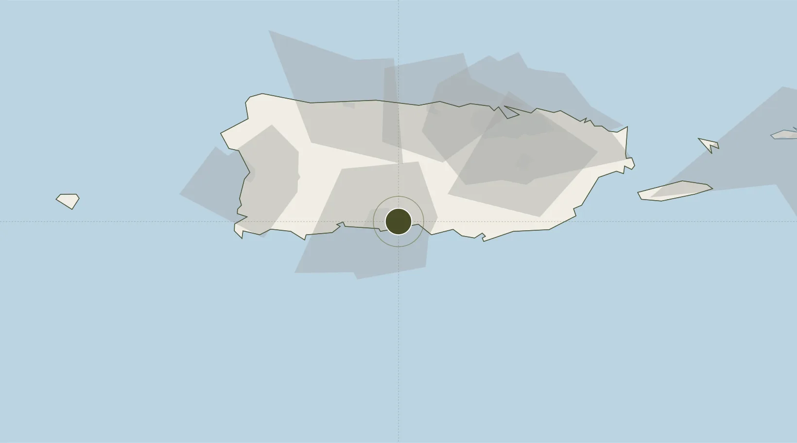
18.0039°, -66.5495°
7.5 km
Nearest port
1.5 km
Nearest airport

Gateway access

Nearest neighbours — logibook spatial index (haversine) over the source coordinates

Zone profile

Zone type
Foreign Trade Zone
Open Zone Map
Region
Puerto Rico
Open Zone Map
Status
Active
Open Zone Map
Management
Public-Private Partnership
Open Zone Map
Operator
CODEZOL C.D.
Open Zone Map
Legal framework
Foreign-Trade Zones Act
Open Zone Map

Location

Location of ozm-4889
Natural Earth 10m (public domain) · Puerto Rico · ozm-4889 · 18.00, -66.55GoogleOSMYandex

Nearby Logistics Neighbours

Ports
  1. 1Playa De Ponce8 km
  2. 2Playa De Guayanilla23 km
  3. 3Playa De Guanica39 km
  4. 4Bahia De Jobos39 km
  5. 5Las Mareas41 km
Nearest neighbours — logibook spatial index (haversine) over the source coordinates
Airports
  1. 1Mercedita International Airport2 km
  2. 2Antonio Nery Juarbe Pol Airport52 km
  3. 3San Juan Seaplane Base68 km
  4. 4Eugenio Maria De Hostos Airport69 km
  5. 5Fernando Luis Ribas Dominicci Airport69 km
Nearest neighbours — logibook spatial index (haversine) over the source coordinates
Cities
  1. 1Guayanilla29 km
  2. 2Salinas32 km
  3. 3Guanica39 km
  4. 4Puerto de Jobos39 km
  5. 5Arroyo51 km
Nearest neighbours — logibook spatial index (haversine) over the source coordinates
Trade Zones
  1. 1FTZ No. 061 San Juan62 km
  2. 2FTZ No. 007 Mayaguez69 km
  3. 3Punta Cana Airport202 km
  4. 4Zona Franca Industrial Higuey237 km
  5. 5La Romana I Industrial Free Zone258 km
Nearest neighbours — logibook spatial index (haversine) over the source coordinates
DatabookThe Record of Consolidated Knowledge
United States beyond logistics?
Browse databook

All Sources

Trade ZonesOpen Zone Map
CC BY
Portsthe NGA World Port Index
Public domain (US gov)
AirportsOurAirports
Public domain
LocationsUN/LOCODE
UN/LOCODE — free
← United States trade zones