Channel & Berth Profile
Pilotage, Tugs & Services
Pilotage compulsoryYES
Pilotage availableYES
Potable waterYES
MedicalYES
Facilities & Capabilities
Container—
Ro-Ro—
Liquid bulk—
Dry bulk—
Oil terminal—
Break bulk—
Dry dock—
Repairs—
BunkeringYES
Rail link—
Dangerous cargo—
ISPS security—
Harbour Specifications
Harbour size
Very Small
Harbour type
Coastal (Breakwater)
Shelter
Good
Water body
North Atlantic Ocean
Tidal range
0.3 m
Pilotage
Yes
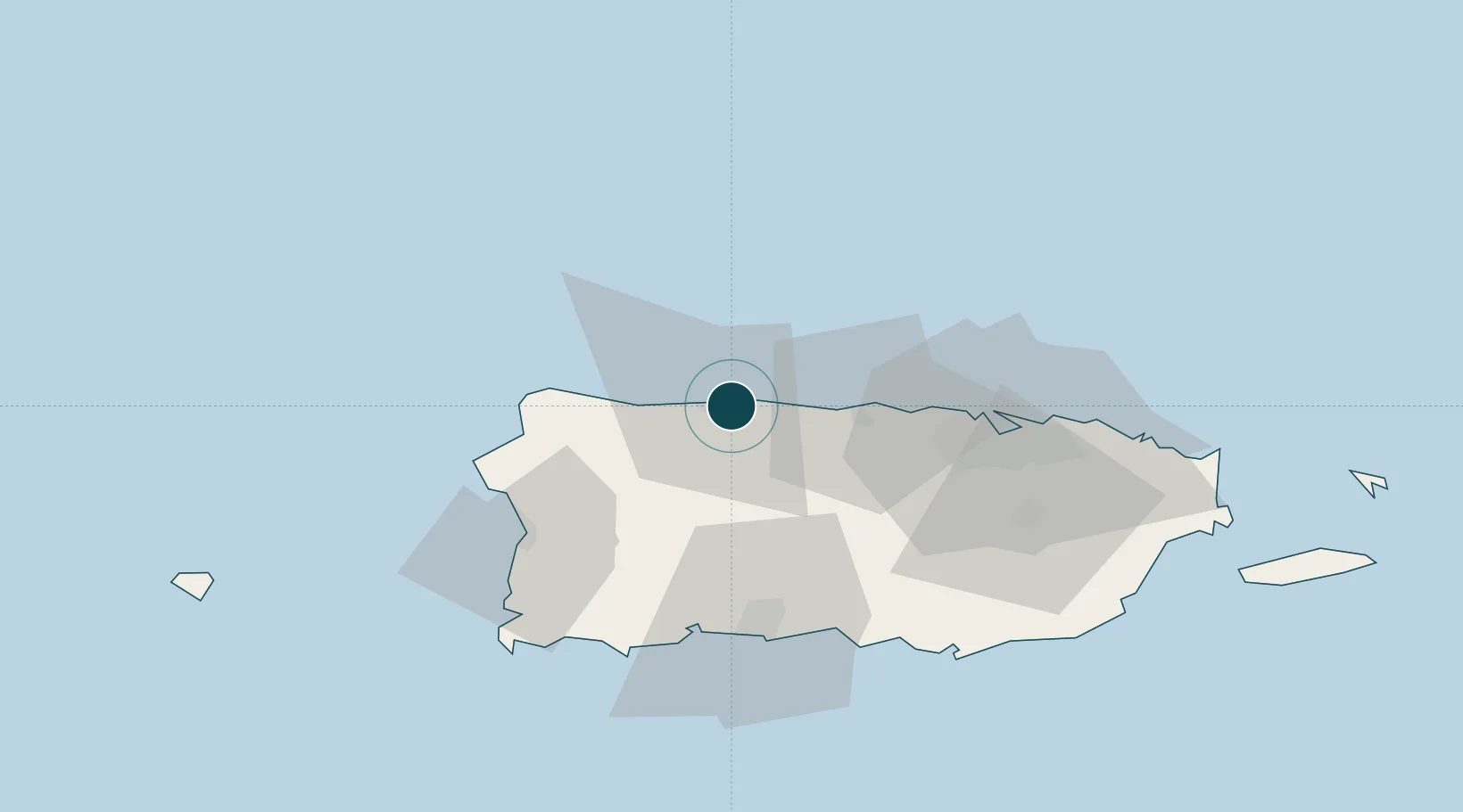
Location
Nearby Logistics Neighbours
Ports
- 1Aguadilla48 km
- 2Playa De Guayanilla52 km
- 3Playa De Ponce56 km
- 4Mayaguez57 km
- 5San Juan62 km
Cities
- 1San Sebastián35 km
- 2Guayanilla59 km
- 3Guanica62 km
- 4Ponce63 km
- 5San Juan64 km
Airports
Trade Zones
- 1FTZ No. 163 Ponce56 km
- 2FTZ No. 007 Mayaguez58 km
- 3FTZ No. 061 San Juan61 km
- 4Punta Cana Airport176 km
- 5Zona Franca Industrial Higuey212 km
DatabookThe Record of Consolidated Knowledge
Puerto Rico beyond logistics?