Channel & Berth Profile
Pilotage, Tugs & Services
Pilotage compulsoryYES
Pilotage availableYES
Tug assistanceYES
Salvage tugsNO
Potable waterYES
Diesel bunkersYES
MedicalYES
Facilities & Capabilities
Container—
Ro-Ro—
Liquid bulk—
Dry bulk—
Oil terminal—
Break bulk—
Dry dockNO
Repairs—
Bunkering—
Rail link—
Dangerous cargo—
ISPS security—
Harbour Specifications
Harbour size
Medium
Harbour type
Coastal (Breakwater)
Shelter
Fair
Water body
Caribbean Sea; North Atlantic Ocean
Tidal range
0.3 m
Pilotage
Yes
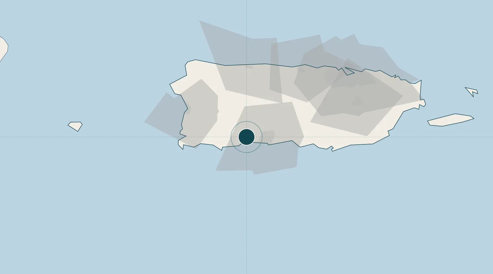
Location
Nearby Logistics Neighbours
Ports
- 1Playa De Ponce16 km
- 2Playa De Guanica17 km
- 3Mayaguez45 km
- 4Arecibo52 km
- 5Aguadilla62 km
Cities
- 1Guanica17 km
- 2San Sebastián38 km
- 3Cabo Rojo40 km
- 4Salinas55 km
- 5Puerto de Jobos62 km
Airports
Trade Zones
- 1FTZ No. 163 Ponce23 km
- 2FTZ No. 007 Mayaguez47 km
- 3FTZ No. 061 San Juan79 km
- 4Punta Cana Airport180 km
- 5Zona Franca Industrial Higuey215 km
DatabookThe Record of Consolidated Knowledge
Puerto Rico beyond logistics?