Transport Functions
Port
Hub Profile
Place type
Regional capital
Region
Guánica
Population
9,224
Time zone
America/Puerto_Rico
Elevation
3 m
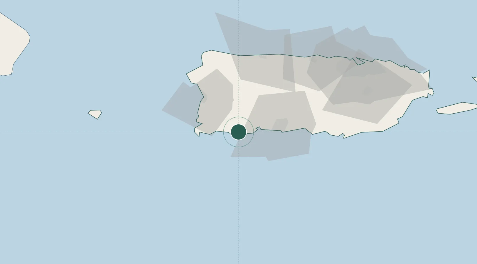
Location
Nearby Logistics Neighbours
Cities
- 1Guayanilla11 km
- 2Cabo Rojo26 km
- 3San Sebastián37 km
- 4Salinas71 km
- 5Puerto de Jobos78 km
Ports
- 1Playa De Guayanilla17 km
- 2Playa De Ponce32 km
- 3Mayaguez36 km
- 4Aguadilla57 km
- 5Arecibo62 km
Airports
Trade Zones
- 1FTZ No. 007 Mayaguez37 km
- 2FTZ No. 163 Ponce39 km
- 3FTZ No. 061 San Juan95 km
- 4Punta Cana Airport167 km
- 5Zona Franca Industrial Higuey202 km
DatabookThe Record of Consolidated Knowledge
Puerto Rico beyond logistics?