Foreign Trade Zone · United States

FTZ No. 007 Mayaguez Active
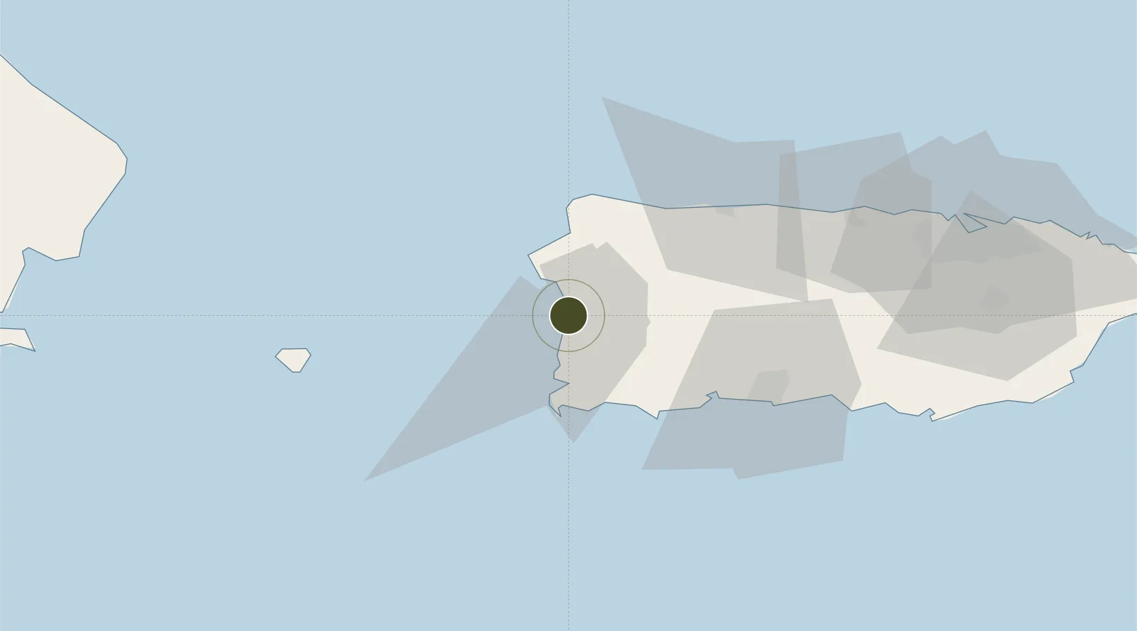
18.2023°, -67.1638°
1.5 km
Nearest port
6.1 km
Nearest airport

Gateway access

Nearest neighbours — logibook spatial index (haversine) over the source coordinates

Zone profile

Zone type
Foreign Trade Zone
Open Zone Map
Region
Puerto Rico
Open Zone Map
Status
Active
Open Zone Map
Management
Public
Open Zone Map
Operator
Puerto Rico Industrial Development Corporation
Open Zone Map
Legal framework
Foreign-Trade Zones Act
Open Zone Map

Location

Location of ozm-4742
Natural Earth 10m (public domain) · Puerto Rico · ozm-4742 · 18.20, -67.16GoogleOSMYandex

Nearby Logistics Neighbours

Ports
  1. 1Mayaguez2 km
  2. 2Aguadilla26 km
  3. 3Playa De Guanica37 km
  4. 4Playa De Guayanilla47 km
  5. 5Arecibo58 km
Nearest neighbours — logibook spatial index (haversine) over the source coordinates
Airports
  1. 1Eugenio Maria De Hostos Airport6 km
  2. 2Rafael Hernández International Airport33 km
  3. 3Antonio Nery Juarbe Pol Airport59 km
  4. 4Mercedita International Airport67 km
  5. 5San Juan Seaplane Base114 km
Nearest neighbours — logibook spatial index (haversine) over the source coordinates
Cities
  1. 1Cabo Rojo14 km
  2. 2San Sebastián24 km
  3. 3Guanica37 km
  4. 4Guayanilla45 km
  5. 5Salinas100 km
Nearest neighbours — logibook spatial index (haversine) over the source coordinates
Trade Zones
  1. 1FTZ No. 163 Ponce69 km
  2. 2FTZ No. 061 San Juan111 km
  3. 3Punta Cana Airport133 km
  4. 4Zona Franca Industrial Higuey169 km
  5. 5La Romana I Industrial Free Zone190 km
Nearest neighbours — logibook spatial index (haversine) over the source coordinates
DatabookThe Record of Consolidated Knowledge
United States beyond logistics?
Browse databook

All Sources

Trade ZonesOpen Zone Map
CC BY
Portsthe NGA World Port Index
Public domain (US gov)
AirportsOurAirports
Public domain
LocationsUN/LOCODE
UN/LOCODE — free
← United States trade zones