Seaport · Philippines
ZamboangaPHZAM
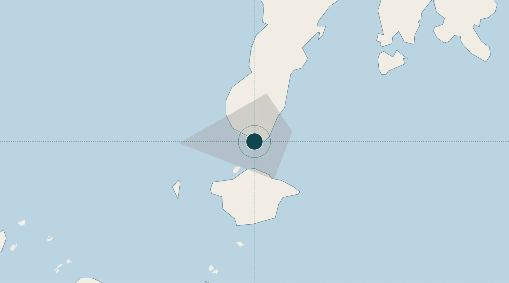
6.9000°, 122.0667°
23.2 m
Channel depth
39.1
Port liner connectivity
Channel & Berth Profile
Pilotage, Tugs & Services
Pilotage compulsoryYES
Pilotage availableYES
Pilotage advisableYES
Tug assistanceNO
Salvage tugsNO
Potable waterYES
MedicalYES
Garbage disposalYES
Facilities & Capabilities
Container—
Ro-Ro—
Liquid bulk—
Dry bulk—
Oil terminal—
Break bulk—
Dry dockNO
RepairsNO
BunkeringYES
Rail link—
Dangerous cargo—
ISPS security—
Harbour Specifications
Harbour size
Small
Harbour type
Open Roadstead
Shelter
Good
Water body
Celebes Sea; North Pacific Ocean
Tidal range
1 m
Pilotage
Yes
Liner Connectivity
39.1
PLSCI
Port Liner Shipping Connectivity Index for Zamboanga, as published by UNCTAD for the latest available quarter. Higher values indicate stronger scheduled liner-shipping integration.
Shown relative to the highest per-port PLSCI in the dataset (1,657.9).
Location
Nearby Logistics Neighbours
Ports
- 1Basilian City (Isabela)23 km
- 2Port Holland45 km
- 3Jolo151 km
- 4Pagadian183 km
- 5Siasi204 km
Cities
- 1Isabela, Basilan25 km
- 2Maluso, Basilan46 km
- 3Vitali/Zamboanga57 km
- 4Busan Bay87 km
- 5Kabasalan/Zamboanga124 km
Airports
- 1Zamboanga International Airport3 km
- 2Jolo Airport150 km
- 3Pagadian Airport185 km
- 4Dipolog Airport236 km
- 5Cotabato (Awang) Airport238 km
DatabookThe Record of Consolidated Knowledge
Philippines beyond logistics?