Diversified Zone · Philippines

Irasan-Roxas Zanorte Special Economic Zone Active
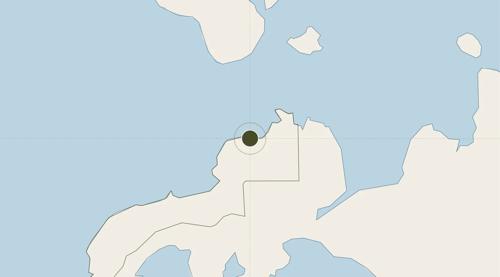
8.5237°, 123.2202°
6 ha
Zone area
74.2 km
Nearest port
16.0 km
Nearest airport

Gateway access

Nearest neighbours — logibook spatial index (haversine) over the source coordinates

Zone profile

Zone type
Diversified Zone
Open Zone Map
Region
Zamboanga del Norte
Open Zone Map
Status
Active
Open Zone Map
Management
Private
Open Zone Map
Operator
STK-Prime Real Property Development Corporation (Dipolog Coconut Oil Mill, Inc.)
Open Zone Map
Legal framework
Special Economic Zone Act (Republic Act No. 7916) (as amended by Republic Act No. 8748)
Open Zone Map

Location

Location of ozm-3099
Natural Earth 10m (public domain) · Zamboanga del Norte · ozm-3099 · 8.52, 123.22GoogleOSMYandex

Nearby Logistics Neighbours

Ports
  1. 1Jimenez74 km
  2. 2Pagadian80 km
  3. 3Lazi82 km
  4. 4Port Ozamis82 km
  5. 5Dumaguete89 km
Nearest neighbours — logibook spatial index (haversine) over the source coordinates
Airports
  1. 1Dipolog Airport16 km
  2. 2Labo Airport78 km
  3. 3Pagadian Airport82 km
  4. 4Sibulan Airport91 km
  5. 5Bohol-Panglao International Airport131 km
Nearest neighbours — logibook spatial index (haversine) over the source coordinates
Cities
  1. 1Polanco, Mindanao14 km
  2. 2Oroquieta64 km
  3. 3Bacong79 km
  4. 4Lazi80 km
  5. 5Larena90 km
Nearest neighbours — logibook spatial index (haversine) over the source coordinates
Trade Zones
  1. 1Misamis Occidental-Oroquieta City Economic Zone61 km
  2. 2Valencia Special Economic Zone85 km
  3. 3DBPI IT Park87 km
  4. 4Spanish Heritage IT Center87 km
  5. 5YY Star DAS Information Technology Center87 km
Nearest neighbours — logibook spatial index (haversine) over the source coordinates
DatabookThe Record of Consolidated Knowledge
Philippines beyond logistics?
Browse databook

All Sources

Trade ZonesOpen Zone Map
CC BY
Portsthe NGA World Port Index
Public domain (US gov)
AirportsOurAirports
Public domain
LocationsUN/LOCODE
UN/LOCODE — free
← Philippines trade zones