UN/LOCODE hub · Philippines
PHZAM
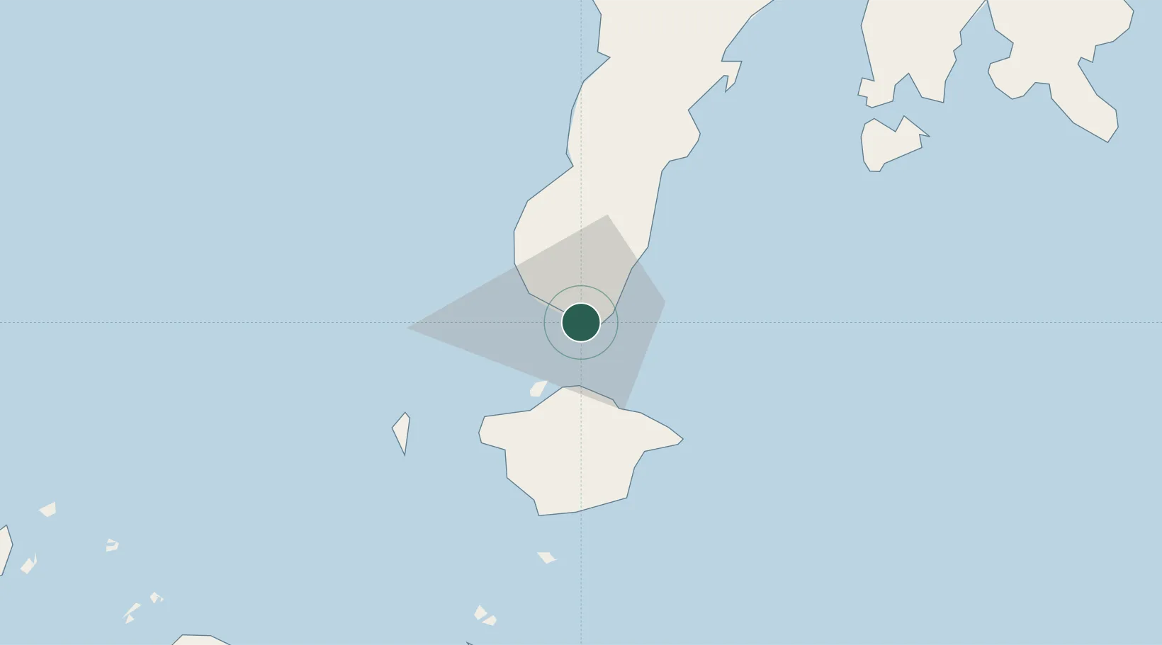
Zamboanga
6.9041°, 122.0712°
1,018,849
Population
2
Transport functions
Transport Functions
Port
Airport
Hub Profile
Place type
Provincial seat
Region
Zamboanga Peninsula
Population
1,018,849
Time zone
Asia/Manila
Elevation
9 m
Logistics facilities
1
Location
Nearby Logistics Neighbours
Cities
- 1Isabela, Basilan26 km
- 2Maluso, Basilan47 km
- 3Vitali/Zamboanga57 km
- 4Busan Bay86 km
- 5Kabasalan/Zamboanga123 km
Ports
- 1Basilian City (Isabela)24 km
- 2Port Holland45 km
- 3Jolo152 km
- 4Pagadian182 km
- 5Siasi205 km
Airports
- 1Zamboanga International Airport2 km
- 2Jolo Airport151 km
- 3Pagadian Airport184 km
- 4Dipolog Airport235 km
- 5Cotabato (Awang) Airport238 km
DatabookThe Record of Consolidated Knowledge
Philippines beyond logistics?