Medium airport · Philippines

Cotabato (Awang) AirportRPMC
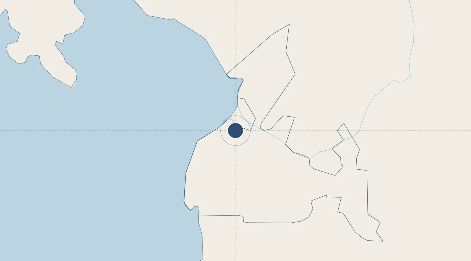
7.1648°, 124.2099°
6,234 ft
Longest runway
1
Runways
189 ft
Elevation

Runway & Layout

Cotabato (Awang) Airport runway & taxiway layout
Runway & taxiway layout — OpenStreetMap (ODbL) / OurAirports

Radio Frequencies

TWR
118.7 MHz
APP
113.7 MHz
OurAirports

Navaids

COT VOR-DME Cotabato 113.70 MHz
OurAirports

Runways · 1

RunwayDimensions SurfaceTrue headingLit
10/28 6,234 × 148ft Asphalt 104°
OurAirports

Airport Specifications

IATA code
CBO
OurAirports
ICAO code
RPMC
OurAirports
Airport class
Medium airport
OurAirports
Scheduled service
Yes
OurAirports
Runway surface
Asphalt
OurAirports
Served city
Datu Odin Sinsuat
OurAirports

Location

Location of RPMC
Natural Earth 10m (public domain) · Maguindanao · RPMC · 7.16, 124.21GoogleOSMYandex

Nearby Logistics Neighbours

Airports
  1. 1Central Mindanao Airport84 km
  2. 2Allah Valley Airport107 km
  3. 3Pagadian Airport111 km
  4. 4Labo Airport120 km
  5. 5General Santos International Airport157 km
Nearest neighbours — logibook spatial index (haversine) over the source coordinates
Cities
  1. 1Kalamansig71 km
  2. 2Lugait130 km
  3. 3Astorga140 km
  4. 4Oroquieta153 km
  5. 5Opol155 km
Nearest neighbours — logibook spatial index (haversine) over the source coordinates
Ports
  1. 1Polloc (Cotabato)21 km
  2. 2Pagadian113 km
  3. 3Port Ozamis115 km
  4. 4Iligan119 km
  5. 5Jimenez135 km
Nearest neighbours — logibook spatial index (haversine) over the source coordinates
Trade Zones
  1. 1Polloc Free Port and Economic Zone BARMM19 km
  2. 2New Cebu Township59 km
  3. 3Balo-I Agro-Industrial Economic Zone105 km
  4. 4SRC Allah Valley Economic Development Zone112 km
  5. 5NUIVI IALT Ecozone116 km
Nearest neighbours — logibook spatial index (haversine) over the source coordinates
DatabookThe Record of Consolidated Knowledge
Philippines beyond logistics?
Browse databook

All Sources

AirportsOurAirports
Public domain
Portsthe NGA World Port Index
Public domain (US gov)
LocationsUN/LOCODE
UN/LOCODE — free
Trade Zonesthe World Bank SEZ database
CC BY 4.0
Trade ZonesOpen Zone Map
CC BY
InfrastructureOpenStreetMap
ODbL 1.0
← Philippines airports