Transport Functions
Port
Road
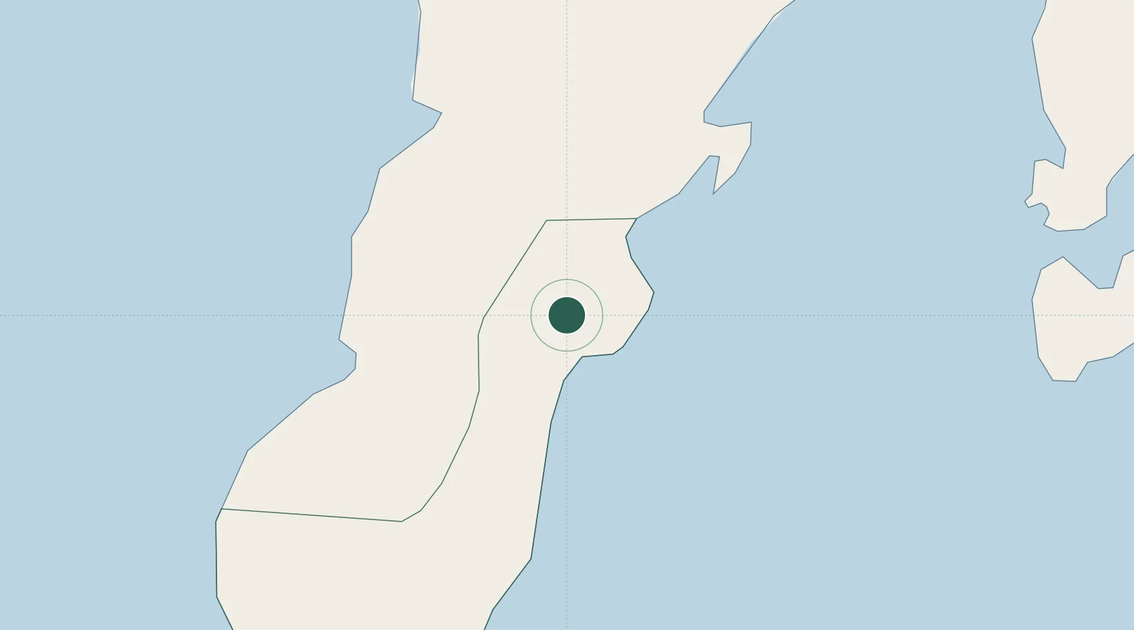
Location
Nearby Logistics Neighbours
Cities
- 1Busan Bay30 km
- 2Zamboanga57 km
- 3Kabasalan/Zamboanga69 km
- 4Isabela, Basilan82 km
- 5Labason/Zamboanga82 km
Ports
- 1Zamboanga57 km
- 2Basilian City (Isabela)80 km
- 3Port Holland102 km
- 4Pagadian137 km
- 5Port Ozamis193 km
Airports
- 1Zamboanga International Airport55 km
- 2Pagadian Airport139 km
- 3Dipolog Airport180 km
- 4Labo Airport194 km
- 5Jolo Airport203 km
DatabookThe Record of Consolidated Knowledge
Philippines beyond logistics?