Diversified Zone · Philippines

Zamboanga City Special Economic Zone Active
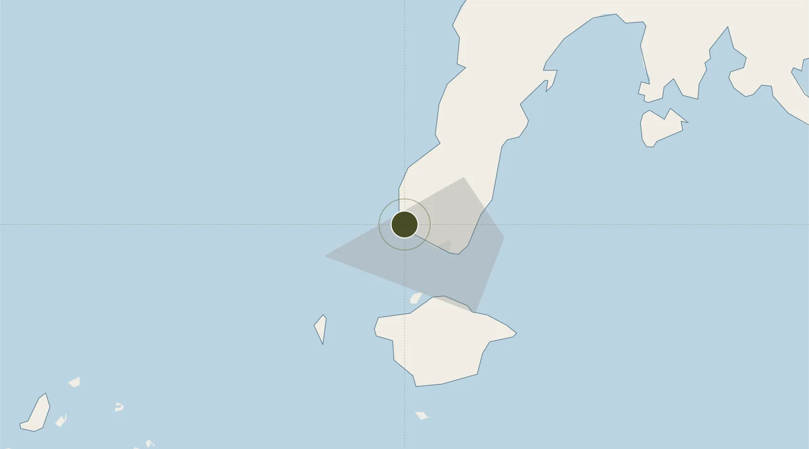
7.0066°, 121.9193°
18 ha
Zone area
20.1 km
Nearest port
18.1 km
Nearest airport

Gateway access

Nearest neighbours — logibook spatial index (haversine) over the source coordinates

Zone profile

Zone type
Diversified Zone
Open Zone Map
Region
Zamboanga
Open Zone Map
Status
Active
Open Zone Map
Management
Public
Open Zone Map
Operator
Zamboanga City Special Economic Zone Authority
Open Zone Map
Legal framework
"Special Economic Zone Act (Republic Act No. 7916) (as amended by Republic Act No. 8748)"
Open Zone Map

Location

Location of ozm-3107
Natural Earth 10m (public domain) · Zamboanga · ozm-3107 · 7.01, 121.92GoogleOSMYandex

Nearby Logistics Neighbours

Ports
  1. 1Zamboanga20 km
  2. 2Basilian City (Isabela)33 km
  3. 3Port Holland51 km
  4. 4Jolo147 km
  5. 5Pagadian191 km
Nearest neighbours — logibook spatial index (haversine) over the source coordinates
Airports
  1. 1Zamboanga International Airport18 km
  2. 2Jolo Airport146 km
  3. 3Pagadian Airport193 km
  4. 4Dipolog Airport237 km
  5. 5Labo Airport249 km
Nearest neighbours — logibook spatial index (haversine) over the source coordinates
Cities
  1. 1Zamboanga20 km
  2. 2Isabela, Basilan35 km
  3. 3Maluso, Basilan53 km
  4. 4Vitali/Zamboanga57 km
  5. 5Busan Bay87 km
Nearest neighbours — logibook spatial index (haversine) over the source coordinates
Trade Zones
  1. 1Irasan-Roxas Zanorte Special Economic Zone221 km
  2. 2Misamis Occidental-Oroquieta City Economic Zone259 km
  3. 3Valencia Special Economic Zone289 km
  4. 4Spanish Heritage IT Center297 km
  5. 5DBPI IT Park297 km
Nearest neighbours — logibook spatial index (haversine) over the source coordinates
DatabookThe Record of Consolidated Knowledge
Philippines beyond logistics?
Browse databook

All Sources

Trade ZonesOpen Zone Map
CC BY
Portsthe NGA World Port Index
Public domain (US gov)
AirportsOurAirports
Public domain
LocationsUN/LOCODE
UN/LOCODE — free
← Philippines trade zones