Large airport · Philippines

Zamboanga International AirportRPMZ
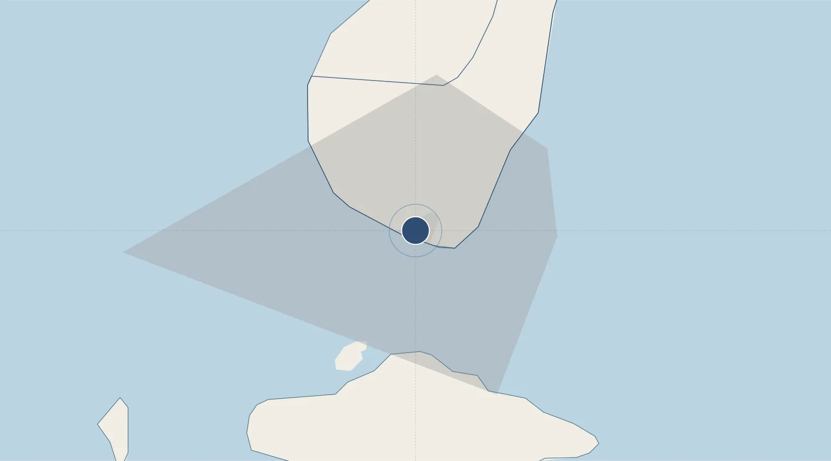
6.9224°, 122.0600°
8,560 ft
Longest runway
1
Runways
33 ft
Elevation

Runway & Layout

Zamboanga International Airport runway & taxiway layout
Runway & taxiway layout — OpenStreetMap (ODbL) / OurAirports

Radio Frequencies

TWR
123.5 MHz
APP
122.7 MHz
FSS
124 MHz
RDO
OurAirports

Navaids

ZAM VOR-DME Zamboanga 113.90 MHz
OurAirports

Runways · 1

RunwayDimensions SurfaceTrue headingLit
09/27 8,560 × 144ft Asphalt 094°
OurAirports

Airport Specifications

IATA code
ZAM
OurAirports
ICAO code
RPMZ
OurAirports
Airport class
Large airport
OurAirports
Scheduled service
Yes
OurAirports
Runway surface
Asphalt
OurAirports
Served city
Zamboanga
OurAirports

Location

Location of RPMZ
Natural Earth 10m (public domain) · Zamboanga · RPMZ · 6.92, 122.06GoogleOSMYandex

Nearby Logistics Neighbours

Airports
  1. 1Jolo Airport151 km
  2. 2Pagadian Airport184 km
  3. 3Dipolog Airport234 km
  4. 4Cotabato (Awang) Airport239 km
  5. 5Labo Airport241 km
Nearest neighbours — logibook spatial index (haversine) over the source coordinates
Cities
  1. 1Zamboanga2 km
  2. 2Isabela, Basilan27 km
  3. 3Maluso, Basilan48 km
  4. 4Vitali/Zamboanga55 km
  5. 5Busan Bay85 km
Nearest neighbours — logibook spatial index (haversine) over the source coordinates
Ports
  1. 1Zamboanga3 km
  2. 2Basilian City (Isabela)25 km
  3. 3Port Holland47 km
  4. 4Jolo152 km
  5. 5Pagadian182 km
Nearest neighbours — logibook spatial index (haversine) over the source coordinates
Trade Zones
  1. 1Zamboanga City Special Economic Zone18 km
  2. 2Irasan-Roxas Zanorte Special Economic Zone219 km
  3. 3Polloc Free Port and Economic Zone BARMM241 km
  4. 4Misamis Occidental-Oroquieta City Economic Zone253 km
  5. 5NUIVI IALT Ecozone258 km
Nearest neighbours — logibook spatial index (haversine) over the source coordinates
DatabookThe Record of Consolidated Knowledge
Philippines beyond logistics?
Browse databook

All Sources

AirportsOurAirports
Public domain
Portsthe NGA World Port Index
Public domain (US gov)
LocationsUN/LOCODE
UN/LOCODE — free
Trade Zonesthe World Bank SEZ database
CC BY 4.0
Trade ZonesOpen Zone Map
CC BY
InfrastructureOpenStreetMap
ODbL 1.0
← Philippines airports