Free Trade Zone · Philippines

Misamis Occidental-Oroquieta City Economic Zone Under Development
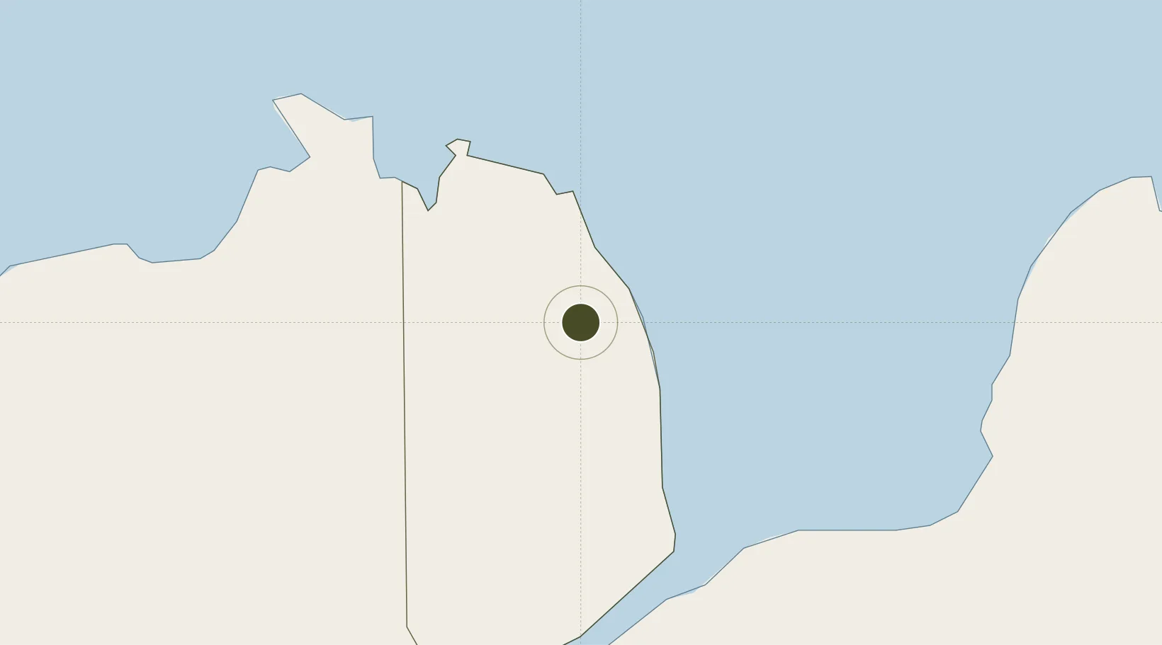
8.4455°, 123.7688°
32 ha
Zone area
16.5 km
Nearest port
30.8 km
Nearest airport

Gateway access

Nearest neighbours — logibook spatial index (haversine) over the source coordinates

Zone profile

Zone type
Free Trade Zone
Open Zone Map
Region
Misamis Occidental
Open Zone Map
Status
Under Development
Open Zone Map
Management
Public
Open Zone Map
Operator
Provincial Government of Misamis Occidental
Open Zone Map
Legal framework
Special Economic Zone Act (Republic Act No. 7916) (as amended by Republic Act No. 8748)
Open Zone Map

Location

Location of ozm-3319
Natural Earth 10m (public domain) · Misamis Occidental · ozm-3319 · 8.45, 123.77GoogleOSMYandex

Nearby Logistics Neighbours

Ports
  1. 1Jimenez17 km
  2. 2Port Ozamis36 km
  3. 3Iligan56 km
  4. 4Pagadian77 km
  5. 5Lazi78 km
Nearest neighbours — logibook spatial index (haversine) over the source coordinates
Airports
  1. 1Labo Airport31 km
  2. 2Dipolog Airport50 km
  3. 3Pagadian Airport77 km
  4. 4Laguindingan International Airport78 km
  5. 5Sibulan Airport111 km
Nearest neighbours — logibook spatial index (haversine) over the source coordinates
Cities
  1. 1Oroquieta5 km
  2. 2Polanco, Mindanao47 km
  3. 3Lugait54 km
  4. 4Lazi76 km
  5. 5Opol88 km
Nearest neighbours — logibook spatial index (haversine) over the source coordinates
Trade Zones
  1. 1Ororama Megacenter IT Center33 km
  2. 2NUIVI IALT Ecozone40 km
  3. 3Balo-I Agro-Industrial Economic Zone56 km
  4. 4Irasan-Roxas Zanorte Special Economic Zone61 km
  5. 5Georgetown Cybermall IT Building96 km
Nearest neighbours — logibook spatial index (haversine) over the source coordinates
DatabookThe Record of Consolidated Knowledge
Philippines beyond logistics?
Browse databook

All Sources

Trade ZonesOpen Zone Map
CC BY
Portsthe NGA World Port Index
Public domain (US gov)
AirportsOurAirports
Public domain
LocationsUN/LOCODE
UN/LOCODE — free
← Philippines trade zones