Transport Functions
Port
Hub Profile
Region
ZAS
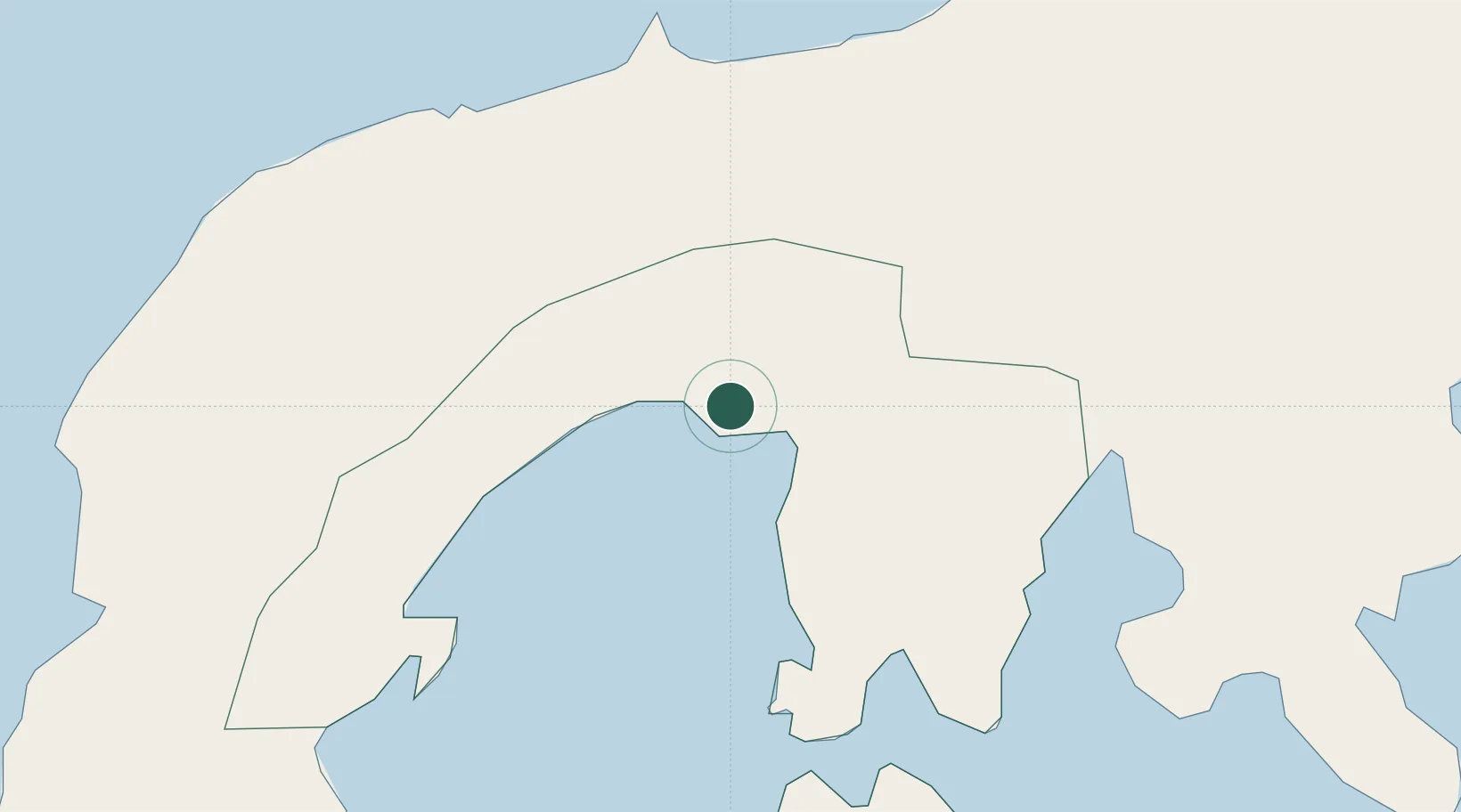
Location
Nearby Logistics Neighbours
Cities
- 1Busan Bay40 km
- 2Labason/Zamboanga41 km
- 3Vitali/Zamboanga69 km
- 4Polanco, Mindanao105 km
- 5Zamboanga123 km
Ports
- 1Pagadian76 km
- 2Zamboanga124 km
- 3Port Ozamis127 km
- 4Jimenez137 km
- 5Basilian City (Isabela)147 km
Airports
- 1Pagadian Airport78 km
- 2Dipolog Airport112 km
- 3Zamboanga International Airport122 km
- 4Labo Airport128 km
- 5Cotabato (Awang) Airport175 km
Trade Zones
DatabookThe Record of Consolidated Knowledge
Philippines beyond logistics?