UN/LOCODE hub · Philippines
PHMLB

Maluso, Basilan

6.5333°, 121.8667°
2
Transport functions

Transport Functions

Port
Road
UN/LOCODE

Hub Profile

Region
BAS
GeoNames

Location

Location of PHMLB
Natural Earth 10m (public domain) · BAS · PHMLB · 6.53, 121.87GoogleOSMYandex

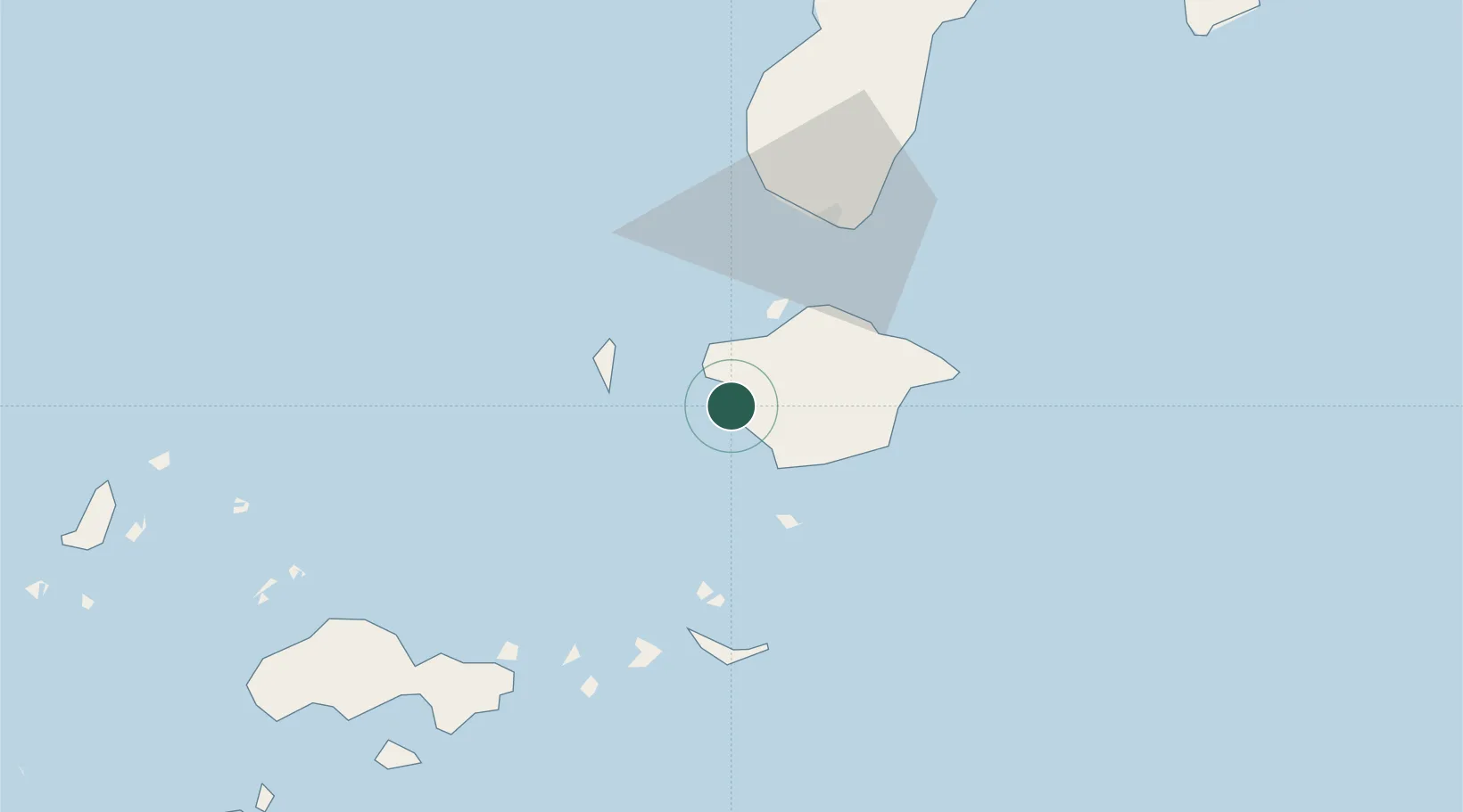
Nearby Logistics Neighbours

Cities
  1. 1Isabela, Basilan22 km
  2. 2Zamboanga47 km
  3. 3Vitali/Zamboanga103 km
  4. 4Busan Bay133 km
  5. 5Kabasalan/Zamboanga170 km
Nearest neighbours — logibook spatial index (haversine) over the source coordinates
Ports
  1. 1Port Holland2 km
  2. 2Basilian City (Isabela)23 km
  3. 3Zamboanga46 km
  4. 4Jolo110 km
  5. 5Siasi160 km
Nearest neighbours — logibook spatial index (haversine) over the source coordinates
Airports
  1. 1Zamboanga International Airport48 km
  2. 2Jolo Airport109 km
  3. 3Pagadian Airport227 km
  4. 4Cotabato (Awang) Airport268 km
  5. 5Dipolog Airport282 km
Nearest neighbours — logibook spatial index (haversine) over the source coordinates
Trade Zones
  1. 1Zamboanga City Special Economic Zone53 km
  2. 2Irasan-Roxas Zanorte Special Economic Zone267 km
  3. 3Misamis Occidental-Oroquieta City Economic Zone299 km
  4. 4Valencia Special Economic Zone338 km
  5. 5Spanish Heritage IT Center346 km
Nearest neighbours — logibook spatial index (haversine) over the source coordinates
DatabookThe Record of Consolidated Knowledge
Philippines beyond logistics?
Browse databook

All Sources

LocationsUN/LOCODE
UN/LOCODE — free
Portsthe NGA World Port Index
Public domain (US gov)
AirportsOurAirports
Public domain
Trade Zonesthe World Bank SEZ database
CC BY 4.0
Trade ZonesOpen Zone Map
CC BY
← Philippines locations