Medium airport · Philippines
Jolo AirportRPMJ
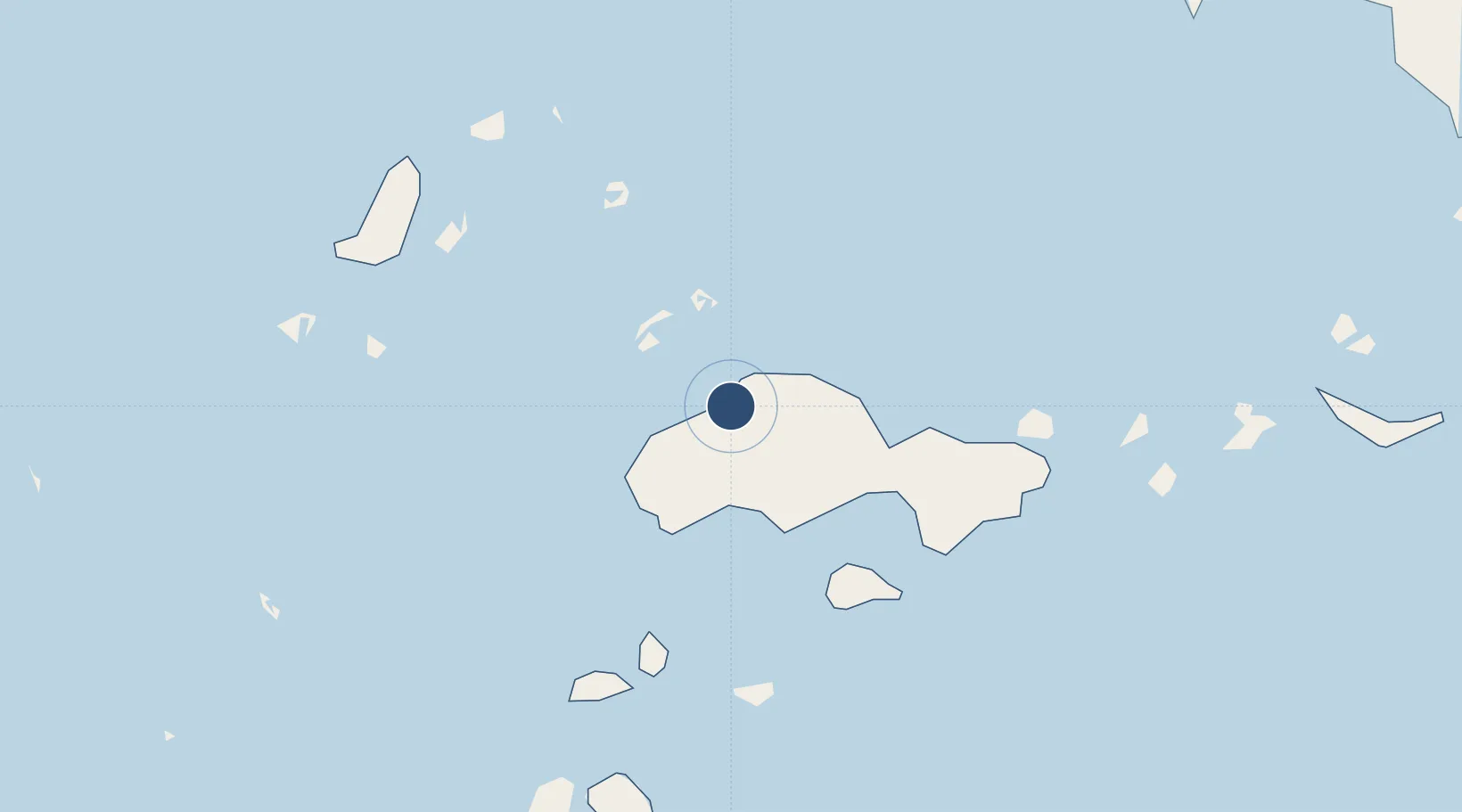
6.0537°, 121.0110°
4,144 ft
Longest runway
1
Runways
118 ft
Elevation
Runway & Layout

Radio Frequencies
FSS
122.2 MHz
RDO
Navaids
JL NDB Jolo 404 kHz
Runways · 1
| Runway | Dimensions | Surface | True heading | Lit |
|---|---|---|---|---|
| 09/27 | 4,144 × 98ft | Asphalt | 089° | — |
Airport Specifications
IATA code
JOL
ICAO code
RPMJ
Airport class
Medium airport
Scheduled service
Yes
Runway surface
Asphalt
Served city
Jolo
Location
Nearby Logistics Neighbours
Airports
- 1Zamboanga International Airport151 km
- 2Sanga Sanga Airport179 km
- 3Tomanggong Airport270 km
- 4Lahad Datu Airport318 km
- 5Sandakan Airport327 km
Cities
- 1Maluso, Basilan109 km
- 2Isabela, Basilan128 km
- 3Zamboanga151 km
- 4Vitali/Zamboanga203 km
- 5Busan Bay233 km
Ports
- 1Jolo1 km
- 2Siasi60 km
- 3Port Holland110 km
- 4Basilian City (Isabela)129 km
- 5Zamboanga150 km
Trade Zones
DatabookThe Record of Consolidated Knowledge
Philippines beyond logistics?