Diversified Zone · Philippines

NUIVI IALT Ecozone Under Development
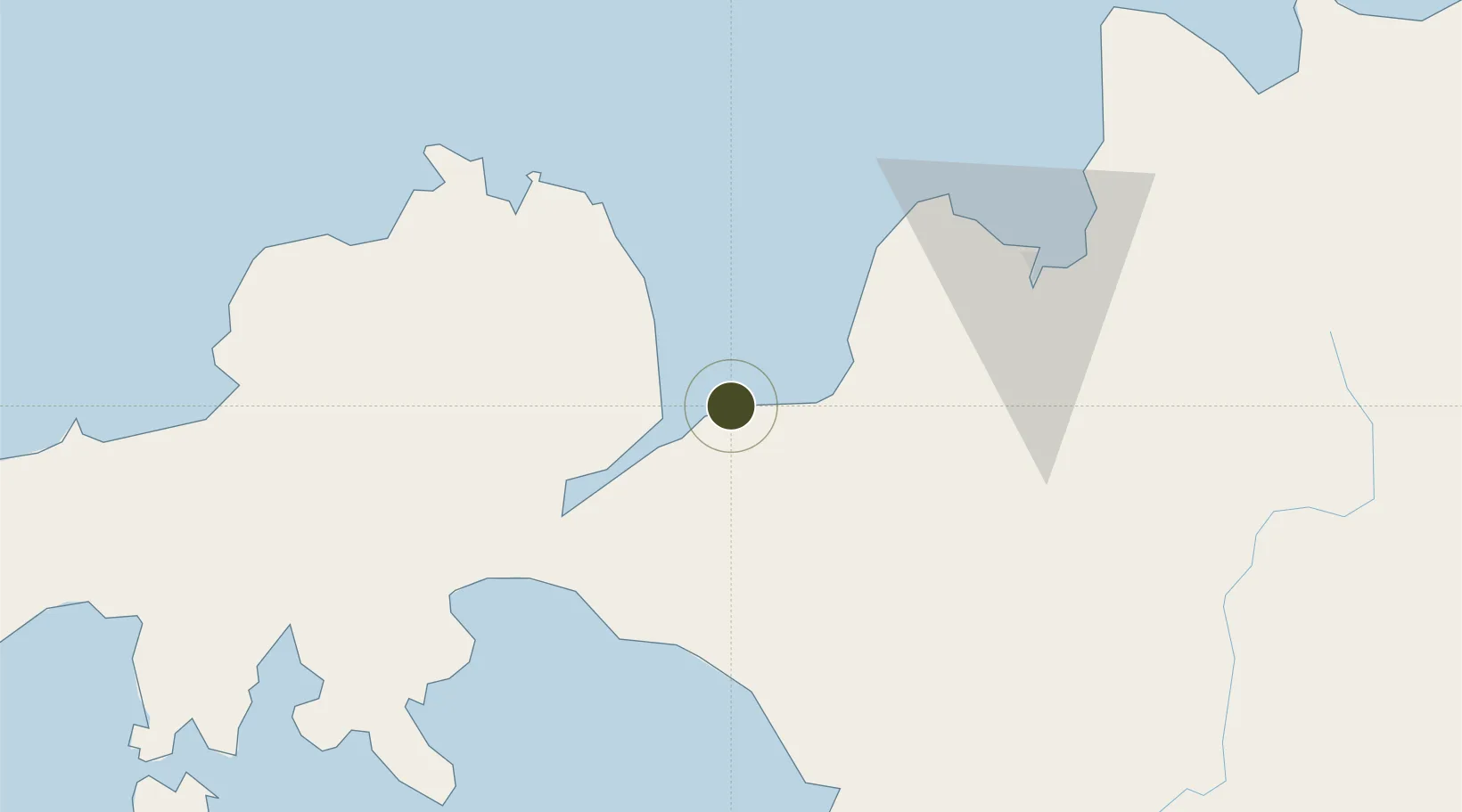
8.1895°, 124.0231°
285 ha
Zone area
20.1 km
Nearest port
20.0 km
Nearest airport

Gateway access

Nearest neighbours — logibook spatial index (haversine) over the source coordinates

Zone profile

Zone type
Diversified Zone
Open Zone Map
Region
Lanao del Norte
Open Zone Map
Status
Under Development
Open Zone Map
Management
Private
Open Zone Map
Operator
Negros United Infrastructure Ventures, Inc.
Open Zone Map
Legal framework
Special Economic Zone Act (Republic Act No. 7916) (as amended by Republic Act No. 8748)
Open Zone Map

Location

Location of ozm-3217
Natural Earth 10m (public domain) · Lanao del Norte · ozm-3217 · 8.19, 124.02GoogleOSMYandex

Nearby Logistics Neighbours

Ports
  1. 1Port Ozamis20 km
  2. 2Jimenez24 km
  3. 3Iligan24 km
  4. 4Pagadian76 km
  5. 5Cagayan De Oro79 km
Nearest neighbours — logibook spatial index (haversine) over the source coordinates
Airports
  1. 1Labo Airport20 km
  2. 2Laguindingan International Airport67 km
  3. 3Pagadian Airport74 km
  4. 4Dipolog Airport88 km
  5. 5Cotabato (Awang) Airport116 km
Nearest neighbours — logibook spatial index (haversine) over the source coordinates
Cities
  1. 1Lugait30 km
  2. 2Oroquieta41 km
  3. 3Opol70 km
  4. 4Polanco, Mindanao83 km
  5. 5Cagayan de Oro, Mindanao85 km
Nearest neighbours — logibook spatial index (haversine) over the source coordinates
Trade Zones
  1. 1Balo-I Agro-Industrial Economic Zone16 km
  2. 2Ororama Megacenter IT Center30 km
  3. 3Misamis Occidental-Oroquieta City Economic Zone40 km
  4. 4Paseo del Rio de Cagayan Economic Tourism Zone75 km
  5. 5Georgetown Cybermall IT Building75 km
Nearest neighbours — logibook spatial index (haversine) over the source coordinates
DatabookThe Record of Consolidated Knowledge
Philippines beyond logistics?
Browse databook

All Sources

Trade ZonesOpen Zone Map
CC BY
Portsthe NGA World Port Index
Public domain (US gov)
AirportsOurAirports
Public domain
LocationsUN/LOCODE
UN/LOCODE — free
← Philippines trade zones