Medium airport · Philippines
Dipolog AirportRPMG
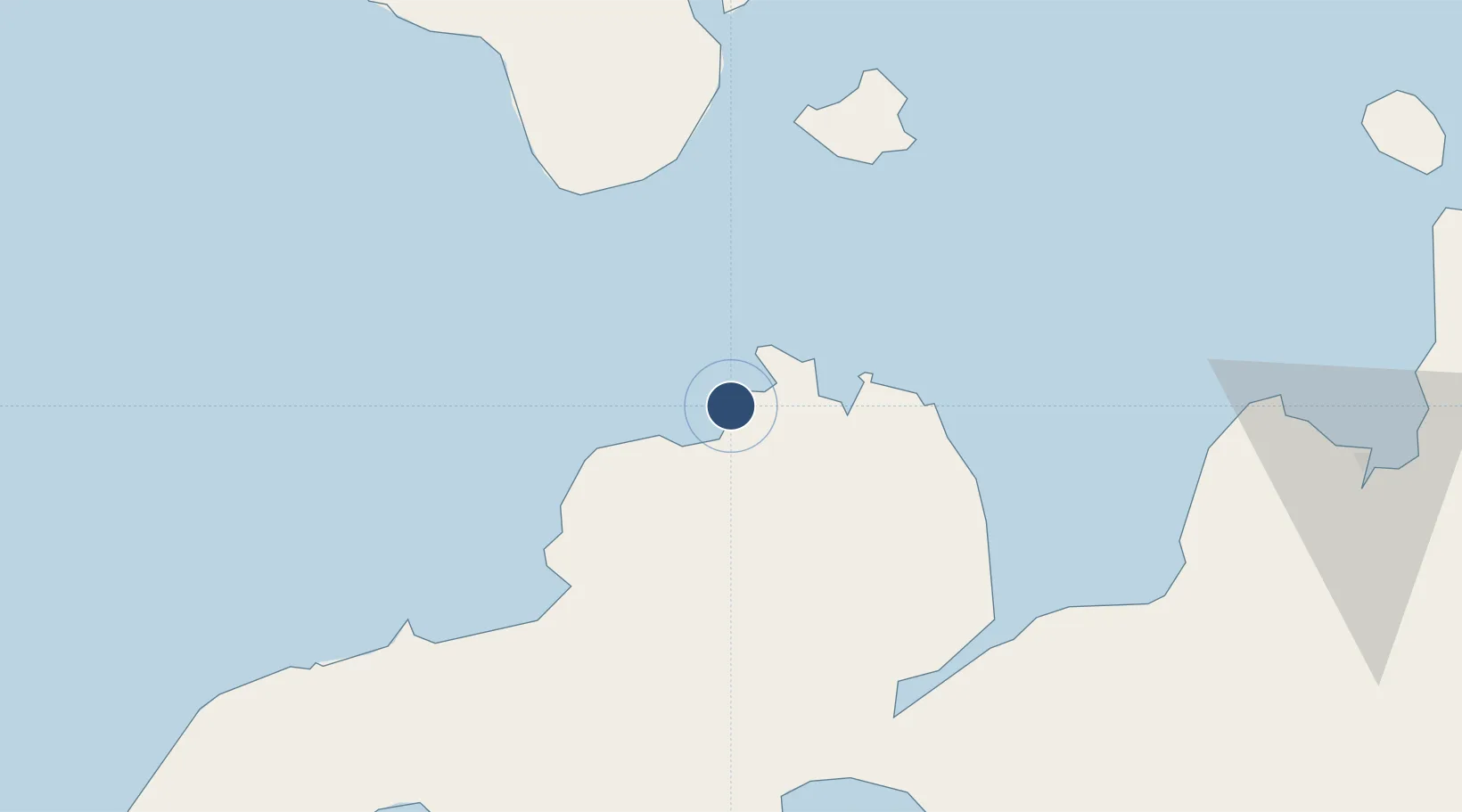
8.6020°, 123.3419°
6,273 ft
Longest runway
1
Runways
12 ft
Elevation
Runway & Layout

Radio Frequencies
FSS
122.1 MHz
RDO
Navaids
DI NDB Dipolog 389 kHz
Runways · 1
| Runway | Dimensions | Surface | True heading | Lit |
|---|---|---|---|---|
| 02/20 | 6,273 × 98ft | Concrete | 018° | ✓ |
Airport Specifications
IATA code
DPL
ICAO code
RPMG
Airport class
Medium airport
Scheduled service
Yes
Runway surface
Concrete
Served city
Dipolog
Location
Nearby Logistics Neighbours
Airports
- 1Labo Airport72 km
- 2Sibulan Airport82 km
- 3Pagadian Airport87 km
- 4Bohol-Panglao International Airport118 km
- 5Laguindingan International Airport123 km
Cities
- 1Polanco, Mindanao10 km
- 2Oroquieta52 km
- 3Lazi66 km
- 4Bacong70 km
- 5Larena77 km
Ports
- 1Jimenez65 km
- 2Lazi67 km
- 3Port Ozamis76 km
- 4Dumaguete80 km
- 5Pagadian86 km
Trade Zones
DatabookThe Record of Consolidated Knowledge
Philippines beyond logistics?