Medium airport · Philippines

Pagadian AirportRPMP
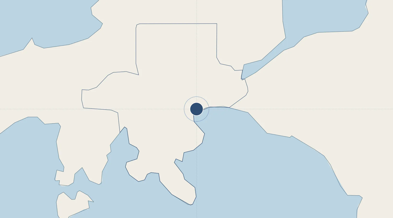
7.8256°, 123.4596°
6,574 ft
Longest runway
1
Runways
5 ft
Elevation

Runway & Layout

Pagadian Airport runway & taxiway layout
Runway & taxiway layout — OpenStreetMap (ODbL) / OurAirports

Radio Frequencies

FSS
122 MHz
RDO
OurAirports

Navaids

PN NDB Pagadian 242 kHz
OurAirports

Runways · 1

RunwayDimensions SurfaceTrue headingLit
02/20 6,574 × 147ft Asphalt 017°
OurAirports

Airport Specifications

IATA code
PAG
OurAirports
ICAO code
RPMP
OurAirports
Airport class
Medium airport
OurAirports
Scheduled service
Yes
OurAirports
Runway surface
Asphalt
OurAirports
Served city
Pagadian
OurAirports

Location

Location of RPMP
Natural Earth 10m (public domain) · Zamboanga del Sur · RPMP · 7.83, 123.46GoogleOSMYandex

Nearby Logistics Neighbours

Airports
  1. 1Labo Airport58 km
  2. 2Dipolog Airport87 km
  3. 3Cotabato (Awang) Airport111 km
  4. 4Laguindingan International Airport140 km
  5. 5Sibulan Airport169 km
Nearest neighbours — logibook spatial index (haversine) over the source coordinates
Cities
  1. 1Polanco, Mindanao78 km
  2. 2Kabasalan/Zamboanga78 km
  3. 3Oroquieta82 km
  4. 4Lugait104 km
  5. 5Labason/Zamboanga107 km
Nearest neighbours — logibook spatial index (haversine) over the source coordinates
Ports
  1. 1Pagadian3 km
  2. 2Port Ozamis55 km
  3. 3Jimenez72 km
  4. 4Iligan97 km
  5. 5Polloc (Cotabato)99 km
Nearest neighbours — logibook spatial index (haversine) over the source coordinates
Trade Zones
  1. 1NUIVI IALT Ecozone74 km
  2. 2Misamis Occidental-Oroquieta City Economic Zone77 km
  3. 3Balo-I Agro-Industrial Economic Zone82 km
  4. 4Irasan-Roxas Zanorte Special Economic Zone82 km
  5. 5Ororama Megacenter IT Center97 km
Nearest neighbours — logibook spatial index (haversine) over the source coordinates
DatabookThe Record of Consolidated Knowledge
Philippines beyond logistics?
Browse databook

All Sources

AirportsOurAirports
Public domain
Portsthe NGA World Port Index
Public domain (US gov)
LocationsUN/LOCODE
UN/LOCODE — free
Trade Zonesthe World Bank SEZ database
CC BY 4.0
Trade ZonesOpen Zone Map
CC BY
InfrastructureOpenStreetMap
ODbL 1.0
← Philippines airports