Export Processing Zone · Philippines

Polloc Free Port and Economic Zone BARMM Active
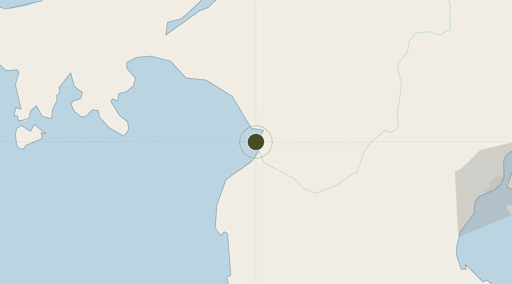
7.3351°, 124.2036°
129 ha
Zone area
2.2 km
Nearest port
19.0 km
Nearest airport

Gateway access

Nearest neighbours — logibook spatial index (haversine) over the source coordinates

Zone profile

Zone type
Export Processing Zone
Open Zone Map
Region
Maguindanao
Open Zone Map
Status
Active
Open Zone Map
Management
Public
Open Zone Map
Operator
Regional Economic Zone Authority (under Philippine Economic Zone Authority)
Open Zone Map
Legal framework
"Special Economic Zone Act (Republic Act No. 7916) (as amended by Republic Act No. 8748)"
Open Zone Map

Location

Location of ozm-3256
Natural Earth 10m (public domain) · Maguindanao · ozm-3256 · 7.34, 124.20GoogleOSMYandex

Nearby Logistics Neighbours

Ports
  1. 1Polloc (Cotabato)2 km
  2. 2Port Ozamis97 km
  3. 3Iligan100 km
  4. 4Pagadian101 km
  5. 5Jimenez117 km
Nearest neighbours — logibook spatial index (haversine) over the source coordinates
Airports
  1. 1Cotabato (Awang) Airport19 km
  2. 2Central Mindanao Airport92 km
  3. 3Pagadian Airport99 km
  4. 4Labo Airport102 km
  5. 5Allah Valley Airport123 km
Nearest neighbours — logibook spatial index (haversine) over the source coordinates
Cities
  1. 1Kalamansig89 km
  2. 2Lugait111 km
  3. 3Oroquieta135 km
  4. 4Opol137 km
  5. 5Cagayan de Oro, Mindanao142 km
Nearest neighbours — logibook spatial index (haversine) over the source coordinates
Trade Zones
  1. 1New Cebu Township73 km
  2. 2Balo-I Agro-Industrial Economic Zone86 km
  3. 3NUIVI IALT Ecozone97 km
  4. 4Ororama Megacenter IT Center125 km
  5. 5SRC Allah Valley Economic Development Zone129 km
Nearest neighbours — logibook spatial index (haversine) over the source coordinates
DatabookThe Record of Consolidated Knowledge
Philippines beyond logistics?
Browse databook

All Sources

Trade ZonesOpen Zone Map
CC BY
Portsthe NGA World Port Index
Public domain (US gov)
AirportsOurAirports
Public domain
LocationsUN/LOCODE
UN/LOCODE — free
← Philippines trade zones